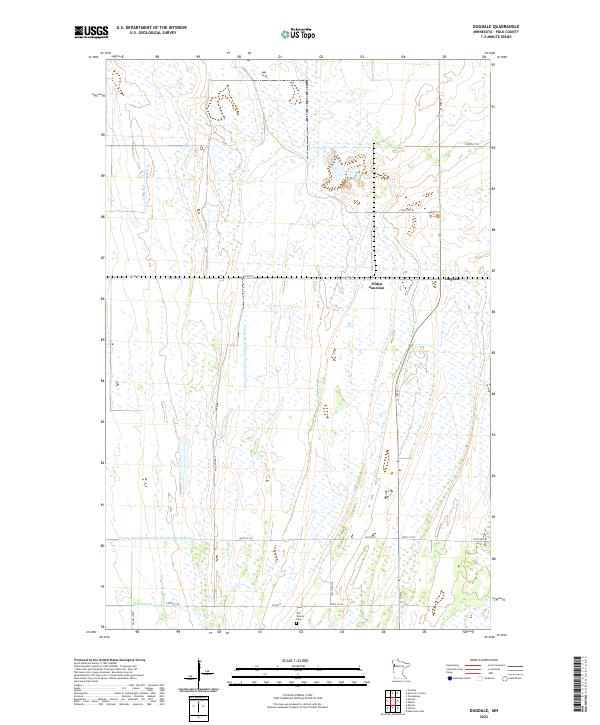
2022 Map of Dugdale
USGS Topo · Published 2022About this map
Dugdale and Tilden Junction anchor this portion of the Red River Valley, characterized by a sophisticated network of drainage systems essential for agriculture in this lowland region. The map details the precise paths of County Ditch Number One Hundred Forty and County Ditch Number One Hundred Twenty-nine, which channel water toward Burnham Cr. This infrastructure reflects the transformation of prairie wetlands into productive farmland through decades of water management. Local history is grounded at Our Saviors Cem in the southern part of the quadrangle, while the rectilinear road grid, including Co Rd 45 and various township roads like 130th Ave SW, reveals the enduring influence of the Public Land Survey System on the modern Minnesota landscape.
Find a feature on this map
23 named features on this map. Tap any name to fly to it.
Don’t see what you’re looking for? This feature index may not catch every label — zoom into the map to look around manually.
Map Details
Editions of this 2022 Dugdale Map
This is the sole edition of this map. No revisions or reprints were ever made.
Other maps of this area

1918 · Terrebonne
USGS Topo · 1:62,500

1918 · Red Lake Falls
USGS Topo · 1:62,500

1919 · Valley
USGS Topo · 1:62,500

1952 · Red Lake Falls
USGS Topo · 1:62,500

1952 · Grand Forks
USGS Topo · 1:250,000

1956 · Grand Forks
USGS Topo · 1:250,000

1964 · Terrebonne
USGS Topo · 1:24,000

1965 · Dugdale
USGS Topo · 1:24,000

1965 · Fertile
USGS Topo · 1:24,000

1965 · Melvin
USGS Topo · 1:24,000