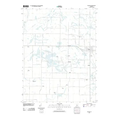
2010 Map of Dugger
USGS Topo · Published 2010About this map
Dugger and Cass anchor this portion of Sullivan County, Indiana, where the land is defined by a dense network of small settlements and a modified hydraulic landscape. The presence of features like the New Harmony Mine Pond and several reservoirs, including Reservoir North and Reservoir South, points to the region's industrial history, likely connected to coal mining and subsequent land reclamation. This human imprint is further evidenced by a high density of small family or community burial grounds scattered across the countryside, such as Brodie Cemetery, Houck Cemetery, and Smith Cemetery.
Find a feature on this map
79 named features on this map. Tap any name to fly to it.
Don’t see what you’re looking for? This feature index may not catch every label — zoom into the map to look around manually.
Map Details
Editions of this 2010 Dugger Map
This is the sole edition of this map. No revisions or reprints were ever made.
Other maps of this area

1940 · Linton
USGS Topo · 1:24,000

1940 · Jasonville
USGS Topo · 1:24,000

1942 · Shelburn
USGS Topo · 1:24,000

1943 · Hymera
USGS Topo · 1:24,000

1943 · Carlisle
USGS Topo · 1:24,000

1943 · Sandborn
USGS Topo · 1:24,000

1943 · Sullivan
USGS Topo · 1:24,000

1943 · Dugger
USGS Topo · 1:24,000

1944 · Bucktown
USGS Topo · 1:24,000

1947 · Linton
USGS Topo · 1:24,000