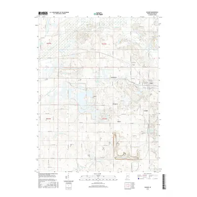
2016 Map of Dugger
USGS Topo · Published 2016About this map
Dugger and Cass anchor this portion of Sullivan County, where the landscape bears the unmistakable marks of a century of coal extraction. The terrain is defined by extensive surface mining features, including complex water impoundments such as Reservoir North, Reservoir South, and the New Harmony Mine Pond. These man-made water bodies, alongside natural drainage from Busseron Creek and Buttermilk Creek, trace the evolution of the local industry.
Find a feature on this map
90 named features on this map. Tap any name to fly to it.
Don’t see what you’re looking for? This feature index may not catch every label — zoom into the map to look around manually.
Map Details
Editions of this 2016 Dugger Map
This is the sole edition of this map. No revisions or reprints were ever made.
Other maps of this area

1940 · Linton
USGS Topo · 1:24,000

1940 · Jasonville
USGS Topo · 1:24,000

1942 · Shelburn
USGS Topo · 1:24,000

1943 · Hymera
USGS Topo · 1:24,000

1943 · Carlisle
USGS Topo · 1:24,000

1943 · Sandborn
USGS Topo · 1:24,000

1943 · Sullivan
USGS Topo · 1:24,000

1943 · Dugger
USGS Topo · 1:24,000

1944 · Bucktown
USGS Topo · 1:24,000

1947 · Linton
USGS Topo · 1:24,000