
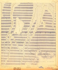
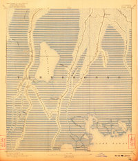
1894 Map of Dulac
USGS Topo · Published 1894About this map
Bayou Terrebonne and Little Bayou Caillou define the landscape of this coastal survey, where narrow ribbons of habitable land follow the natural levees of the delta. The small settlements of Montegut and Dulac represent the primary residential clusters during the late nineteenth century, surrounded by an intricate network of waterways like Bayou La Cache and Bayou Salle.
Find a feature on this map
32 named features on this map. Tap any name to fly to it.
Don’t see what you’re looking for? This feature index may not catch every label — zoom into the map to look around manually.
Map Details
Editions of this 1894 Dulac Map
3 editions found
Other maps of this area

1892 · Gibson
USGS Topo · 1:62,500

1892 · Cut-Off
USGS Topo · 1:62,500

1892 · Houma
USGS Topo · 1:62,500

1894 · Timbalier
USGS Topo · 1:62,500

1894 · Bayou De Large
USGS Topo · 1:62,500

1894 · Lake Felicity
USGS Topo · 1:62,500

1897 · Gibson
USGS Topo · 1:62,500

1932 · Houma SE
USGS Topo · 1:31,680

1932 · Houma SW
USGS Topo · 1:31,680

1935 · Cocodrie
USGS Topo · 1:31,680