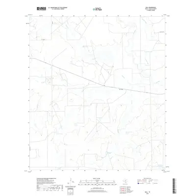
2019 Map of Dull
USGS Topo · Published 2019About this map
Dull stands as the primary namesake settlement in this arid reach of La Salle County, where the landscape is defined by its seasonal water sources and ranching infrastructure. The Frio River and Cayman Slough provide the major drainage patterns in the northeast, while the rest of the terrain is marked by an extensive system of man-made tanks, such as TCU Tank, Quintana Tank, and Salt Well Tank. These features, along with names like Rock Hill Tank and Northeast Yeager Tank, underscore the critical importance of water management for cattle operations in South Texas. Crossing the center of the sheet, the expansive Dull Flats transition into drainages for Cibolo Cr and Yeager Cr, reflecting the topographic character of the Brush Country. Rural routes like El Jardin RD and Koon Hill Rd connect these remote points across a largely open landscape.
Find a feature on this map
19 named features on this map. Tap any name to fly to it.
Don’t see what you’re looking for? This feature index may not catch every label — zoom into the map to look around manually.
Map Details
Editions of this 2019 Dull Map
This is the sole edition of this map. No revisions or reprints were ever made.
Other maps of this area

1929 · Cotulla
USGS Topo · 1:125,000

1940 · Cotulla
USGS Topo · 1:62,500

1942 · Fowlerton
USGS Topo · 1:62,500

1942 · Dilley
USGS Topo · 1:62,500

1953 · Crystal City
USGS Topo · 1:250,000

1955 · Crystal City
USGS Topo · 1:250,000

1956 · Hindes
USGS Topo · 1:62,500

1956 · Fowlerton
USGS Topo · 1:62,500

1961 · Crystal City
USGS Topo · 1:250,000

1968 · Crystal City
USGS Topo · 1:250,000