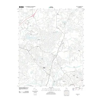
2011 Map of Duluth
USGS Topo · Published 2011About this map
The Chattahoochee River corridor in north Georgia is characterized by a suburban landscape where historical rural markers remain visible alongside modern development. In this early 21st-century survey, the transition from older agricultural and mill sites to residential and industrial hubs is evident. Johns Creek and Duluth serve as the primary anchors, connected by a network of bridges such as Abbotts Bridge and McClure Bridge. Genealogists will find a high density of small family and community burial grounds, including Bethlehem Cemetery, Sharon Cemetery, and Warsaw Cemetery.
Find a feature on this map
81 named features on this map. Tap any name to fly to it.
Don’t see what you’re looking for? This feature index may not catch every label — zoom into the map to look around manually.
Map Details
Editions of this 2011 Duluth Map
This is the sole edition of this map. No revisions or reprints were ever made.
Other maps of this area

1888 · Atlanta
USGS Topo · 1:125,000

1890 · Suwanee
USGS Topo · 1:125,000

1890 · Atlanta
USGS Topo · 1:125,000

1892 · Atlanta
USGS Topo · 1:125,000

1894 · Suwanee
USGS Topo · 1:125,000

1895 · Atlanta
USGS Topo · 1:125,000

1953 · Atlanta
USGS Topo · 1:250,000

1954 · Chamblee
USGS Topo · 1:24,000

1955 · Rome
USGS Topo · 1:250,000

1956 · Duluth
USGS Topo · 1:24,000