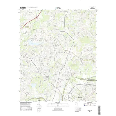
2017 Map of Duluth
USGS Topo · Published 2017About this map
The Chattahoochee River carves through the southern landscape of this 2017 survey, defining the border between Fulton and Gwinnett counties. This area of Georgia is characterized by a dense suburban layout that still honors its early rural roots through preserved family burial grounds, such as the Bagley Family Cem and James Cem. The expansion of Alpharetta and Johns Creek is evident in the complex network of residential roads that surround established water bodies like Lake Windward and Matthews Lake. Historic river crossings remain central landmarks, including Abbotts Bridge, McClure Bridge, and Rogers Bridge. These points, along with the Chattahoochee River National Recreation Area, highlight the region's focus on integrating natural riverfront space with the rapid development of communities like Warsaw, Shake Rag, and Duluth.
Find a feature on this map
261 named features on this map. Tap any name to fly to it.
Don’t see what you’re looking for? This feature index may not catch every label — zoom into the map to look around manually.
Map Details
Editions of this 2017 Duluth Map
This is the sole edition of this map. No revisions or reprints were ever made.
Other maps of this area

1888 · Atlanta
USGS Topo · 1:125,000

1890 · Suwanee
USGS Topo · 1:125,000

1890 · Atlanta
USGS Topo · 1:125,000

1892 · Atlanta
USGS Topo · 1:125,000

1894 · Suwanee
USGS Topo · 1:125,000

1895 · Atlanta
USGS Topo · 1:125,000

1953 · Atlanta
USGS Topo · 1:250,000

1954 · Chamblee
USGS Topo · 1:24,000

1955 · Rome
USGS Topo · 1:250,000

1956 · Duluth
USGS Topo · 1:24,000