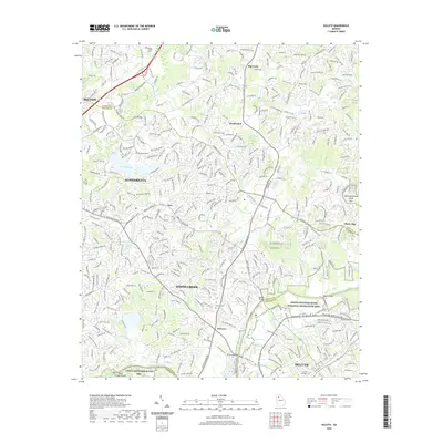
2020 Map of Duluth
USGS Topo · Published 2020About this map
Johns Creek and the surrounding northern Atlanta suburbs are depicted here at a period of significant residential development. The landscape is defined by the winding course of the Chattahoochee River, which serves as a natural boundary between Fulton and Gwinnett counties. Within the Chattahoochee River National Recreation Area, various river crossings like McClure Bridge, Abbotts Bridge, and Rogers Bridge connect the growing communities. Smaller settlements and neighborhoods like Ocee, Warsaw, and Shake Rag are integrated into the modern road network, which includes Old Milton Pkwy and Peachtree Industrial Blvd. This survey preserves the locations of several historic burial grounds, including the Bagley Family Cem and Bethlehem Cem, which remain as markers of the area's rural ancestry amidst the contemporary suburban expansion.
Find a feature on this map
43 named features on this map. Tap any name to fly to it.
Don’t see what you’re looking for? This feature index may not catch every label — zoom into the map to look around manually.
Map Details
Editions of this 2020 Duluth Map
This is the sole edition of this map. No revisions or reprints were ever made.
Other maps of this area

1888 · Atlanta
USGS Topo · 1:125,000

1890 · Suwanee
USGS Topo · 1:125,000

1890 · Atlanta
USGS Topo · 1:125,000

1892 · Atlanta
USGS Topo · 1:125,000

1894 · Suwanee
USGS Topo · 1:125,000

1895 · Atlanta
USGS Topo · 1:125,000

1953 · Atlanta
USGS Topo · 1:250,000

1954 · Chamblee
USGS Topo · 1:24,000

1955 · Rome
USGS Topo · 1:250,000

1956 · Duluth
USGS Topo · 1:24,000