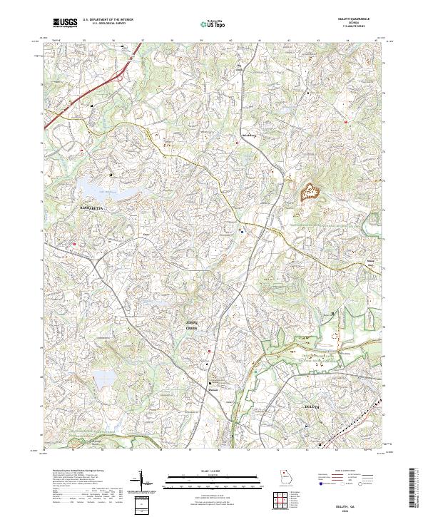
2024 Map of Duluth
USGS Topo · Published 2024About this map
The Chattahoochee River carves a deep boundary through this region, separating Fulton Co from Gwinnett Co. This modern topographic landscape is characterized by the suburban expansion of Duluth, Alpharetta, and Johns Creek, yet it retains traces of its earlier rural character through numerous family and church burial grounds. Landmarks like Rogers Ferry and Waters Ferry indicate historical river crossing points that predated modern bridges.
Find a feature on this map
43 named features on this map. Tap any name to fly to it.
Don’t see what you’re looking for? This feature index may not catch every label — zoom into the map to look around manually.
Map Details
Editions of this 2024 Duluth Map
This is the sole edition of this map. No revisions or reprints were ever made.
Other maps of this area

1888 · Atlanta
USGS Topo · 1:125,000

1890 · Suwanee
USGS Topo · 1:125,000

1890 · Atlanta
USGS Topo · 1:125,000

1892 · Atlanta
USGS Topo · 1:125,000

1894 · Suwanee
USGS Topo · 1:125,000

1895 · Atlanta
USGS Topo · 1:125,000

1953 · Atlanta
USGS Topo · 1:250,000

1954 · Chamblee
USGS Topo · 1:24,000

1955 · Rome
USGS Topo · 1:250,000

1956 · Duluth
USGS Topo · 1:24,000