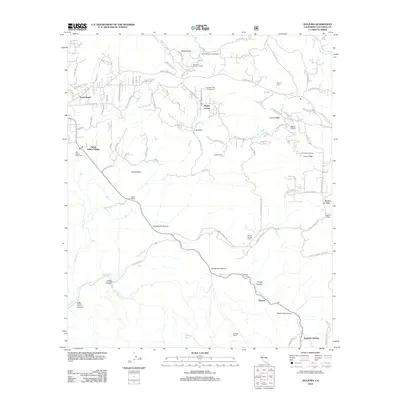
2012 Map of Dulzura
USGS Topo · Published 2012About this map
The high peaks and deep canyons of eastern San Diego County define the landscape of the Dulzura region. In this rugged backcountry, the Jamul Indian Village and Saint Francis Xavier Cem sit near the western slopes, while the high elevation Lyons Peak Lookout provides a strategic vantage point to the east. The map detail reflects a history of ranching and remote settlement, shown through family-named locations such as Mellor Ranch, Bratton Ranch, and Daley Ranch.
Find a feature on this map
89 named features on this map. Tap any name to fly to it.
Don’t see what you’re looking for? This feature index may not catch every label — zoom into the map to look around manually.
Map Details
Editions of this 2012 Dulzura Map
This is the sole edition of this map. No revisions or reprints were ever made.
Other maps of this area

1893 · El Cajon
USGS Topo · 1:62,500

1901 · Elcajon
USGS Topo · 1:62,500

1903 · Cuyamaca
USGS Topo · 1:125,000

1903 · Elcajon
USGS Topo · 1:62,500

1904 · Southern California Sheet No. 2
USGS Topo · 1:250,000

1939 · El Cajon
USGS Topo · 1:62,500

1942 · Potrero
USGS Topo · 1:48,000

1942 · El Cajon
USGS Topo · 1:62,500

1942 · Cuyamaca Peak
USGS Topo · 1:62,500

1943 · Jamul
USGS Topo · 1:62,500