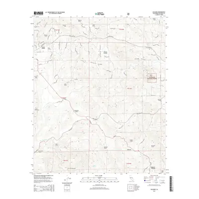
2015 Map of Dulzura
USGS Topo · Published 2015About this map
Dulzura and North Jamul anchor this southern California landscape, where the chaparral-covered foothills transition into the Jamul Mountains and the San Ysidro Mountains. The area's settlement pattern is defined by pockets of development such as Steele Canyon and Lee Valley, interspersed with large protected areas within the Cleveland National Forest. In the northwest, the Saint Francis Xavier Cemetery serves as a significant local landmark for genealogists and local historians, while the network of truck trails, including the Skyline Truck Trl, indicates the historic necessity of fire access and remote transport in these canyon-riven highlands. The intricate topography reveals a series of named drainages like Jamul Cr and Dulzura Cr that have long dictated the placement of roads like Campo Rd and the small settlements of Phelps Corner and Engineer Springs.
Find a feature on this map
86 named features on this map. Tap any name to fly to it.
Don’t see what you’re looking for? This feature index may not catch every label — zoom into the map to look around manually.
Map Details
Editions of this 2015 Dulzura Map
This is the sole edition of this map. No revisions or reprints were ever made.
Other maps of this area

1893 · El Cajon
USGS Topo · 1:62,500

1901 · Elcajon
USGS Topo · 1:62,500

1903 · Cuyamaca
USGS Topo · 1:125,000

1903 · Elcajon
USGS Topo · 1:62,500

1904 · Southern California Sheet No. 2
USGS Topo · 1:250,000

1939 · El Cajon
USGS Topo · 1:62,500

1942 · Potrero
USGS Topo · 1:48,000

1942 · El Cajon
USGS Topo · 1:62,500

1942 · Cuyamaca Peak
USGS Topo · 1:62,500

1943 · Jamul
USGS Topo · 1:62,500