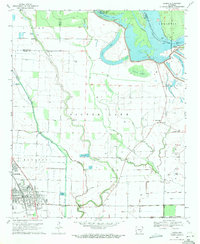
1969 Map of Dumas
USGS Topo · Published 1971About this map
Dumas and Mitchellville anchor this 1960s portrait of the Arkansas Delta, where the Missouri Pacific railroad cuts a straight line through a landscape defined by oxbow lakes and bayous. The Arkansas River forms a dynamic boundary to the northeast, its historical meanders evidenced by features like Echubby Lake, Silver Lake, and Cypress Brake. The map documents a predominantly agricultural economy, noting several fish farms and a series of flumes and canals used for water management.
Find a feature on this map
34 named features on this map. Tap any name to fly to it.
Don’t see what you’re looking for? This feature index may not catch every label — zoom into the map to look around manually.
Map Details
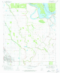
Editions of this 1969 Dumas Map
2 editions found
Other maps of this area

1935 · Varner
USGS Topo · 1:62,500

1935 · Rotan
USGS Topo · 1:62,500

1935 · Red Fork
USGS Topo · 1:62,500

1935 · Gillett
USGS Topo · 1:62,500

1948 · Helena
USGS Topo · 1:250,000

1950 · Helena
USGS Topo · 1:250,000

1953 · Greenwood
USGS Topo · 1:250,000

1955 · Helena
USGS Topo · 1:250,000

1956 · Greenwood
USGS Topo · 1:250,000

1959 · Helena
USGS Topo · 1:250,000