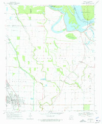
1969 Map of Dumas
USGS Topo · Published 1976About this map
The low-lying Delta landscape along the Arkansas River is defined by its complex network of bayous and drainage canals in this late 1960s survey. The town of Dumas sits in the southwestern corner, anchored by the M P railroad and featuring Memorial Park. To the north and east, the land gives way to an intricate water system including Silver Lake, Cypress Brake, and Echubby Lake.
Find a feature on this map
38 named features on this map. Tap any name to fly to it.
Don’t see what you’re looking for? This feature index may not catch every label — zoom into the map to look around manually.
Map Details
Editions of this 1969 Dumas Map
2 editions found
Other maps of this area

1935 · Varner
USGS Topo · 1:62,500

1935 · Rotan
USGS Topo · 1:62,500

1935 · Red Fork
USGS Topo · 1:62,500

1935 · Gillett
USGS Topo · 1:62,500

1948 · Helena
USGS Topo · 1:250,000

1950 · Helena
USGS Topo · 1:250,000

1953 · Greenwood
USGS Topo · 1:250,000

1955 · Helena
USGS Topo · 1:250,000

1956 · Greenwood
USGS Topo · 1:250,000

1959 · Helena
USGS Topo · 1:250,000