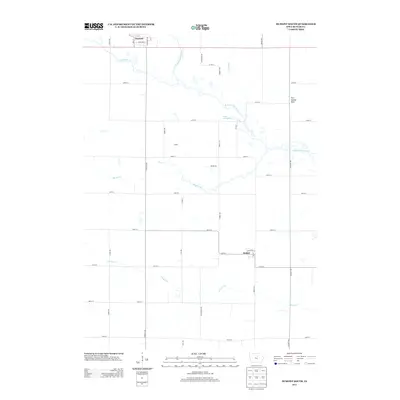
2013 Map of Dumont South
USGS Topo · Published 2013About this map
Dumont anchors the northern edge of this Butler County landscape, where the town grid is defined by streets like Main St and Bickford St. The surrounding countryside is a network of agricultural sections carved by a complex drainage system, most notably the W Fork Cedar River and its numerous tributaries. These waterways, including Hartgrave Cr, Coon Cr, and Maynes Cr, dictate the rural road patterns as they meander through the prairie. A notable landmark in the northeast is Fort Sumter Rock, situated near the riverbanks. To the south, the settlement of Kesley sits at the junction of 265th St and Grand Ave. The map also highlights Lake Considine, a significant water feature located just south of the river's bend near Fir Ave, illustrating the local hydrography that has shaped this Iowa farming community for generations.
Find a feature on this map
41 named features on this map. Tap any name to fly to it.
Don’t see what you’re looking for? This feature index may not catch every label — zoom into the map to look around manually.
Map Details
Editions of this 2013 Dumont South Map
This is the sole edition of this map. No revisions or reprints were ever made.
Other maps of this area

1954 · Waterloo
USGS Topo · 1:250,000

1955 · Waterloo
USGS Topo · 1:250,000

1972 · Dumont North
USGS Topo · 1:24,000

1972 · Hansell
USGS Topo · 1:24,000

1972 · Allison
USGS Topo · 1:24,000

1979 · Ackley NE
USGS Topo · 1:24,000

1979 · Ackley
USGS Topo · 1:24,000

1979 · Dumont South
USGS Topo · 1:24,000

1979 · Butler Center
USGS Topo · 1:24,000

1980 · Aplington
USGS Topo · 1:24,000