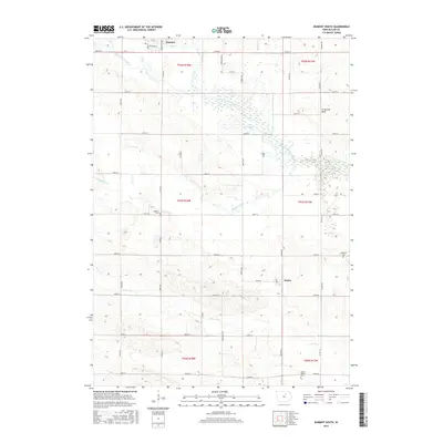
2015 Map of Dumont South
USGS Topo · Published 2015About this map
Dumont and the unincorporated community of Kesley anchor this rural landscape in Butler County, where the township grid meets the meandering path of the West Fork Cedar River. The terrain is defined by a dense network of waterways including Hartgrave Creek, Maynes Creek, and Johnson Cr, which create localized wetlands and drainage basins across the prairie. Of particular interest to local historians are the small, dispersed burial grounds such as Madison Cem, Hitesville Cem, and the Bethel Reform Cem, each serving as a vital link to the families who settled this agricultural region. Notable landmarks like Lake Considine and the curiously named Ft Sumter Rock provide unique geographic points of reference amidst the strictly partitioned sections of the Public Land Survey System. The map documents a mature road network, featuring routes like Co Rd T16 and Co Rd T25, illustrating the enduring importance of transit for this farming economy.
Find a feature on this map
49 named features on this map. Tap any name to fly to it.
Don’t see what you’re looking for? This feature index may not catch every label — zoom into the map to look around manually.
Map Details
Editions of this 2015 Dumont South Map
This is the sole edition of this map. No revisions or reprints were ever made.
Other maps of this area

1954 · Waterloo
USGS Topo · 1:250,000

1955 · Waterloo
USGS Topo · 1:250,000

1972 · Dumont North
USGS Topo · 1:24,000

1972 · Hansell
USGS Topo · 1:24,000

1972 · Allison
USGS Topo · 1:24,000

1979 · Ackley NE
USGS Topo · 1:24,000

1979 · Ackley
USGS Topo · 1:24,000

1979 · Dumont South
USGS Topo · 1:24,000

1979 · Butler Center
USGS Topo · 1:24,000

1980 · Aplington
USGS Topo · 1:24,000