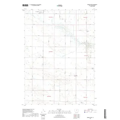
2018 Map of Dumont South
USGS Topo · Published 2018About this map
Dumont and Kesley anchor this portion of Butler County, where the agricultural landscape is defined by the winding path of the West Fork Cedar River and its numerous tributaries. The river corridor features Lake Considine and unique terrain markers like Ft Sumter Rock, while the surrounding prairie is partitioned by a grid of rural roads such as Co Rd T16 and Co Rd T25.
Find a feature on this map
49 named features on this map. Tap any name to fly to it.
Don’t see what you’re looking for? This feature index may not catch every label — zoom into the map to look around manually.
Map Details
Editions of this 2018 Dumont South Map
This is the sole edition of this map. No revisions or reprints were ever made.
Other maps of this area

1954 · Waterloo
USGS Topo · 1:250,000

1955 · Waterloo
USGS Topo · 1:250,000

1972 · Dumont North
USGS Topo · 1:24,000

1972 · Hansell
USGS Topo · 1:24,000

1972 · Allison
USGS Topo · 1:24,000

1979 · Ackley NE
USGS Topo · 1:24,000

1979 · Ackley
USGS Topo · 1:24,000

1979 · Dumont South
USGS Topo · 1:24,000

1979 · Butler Center
USGS Topo · 1:24,000

1980 · Aplington
USGS Topo · 1:24,000