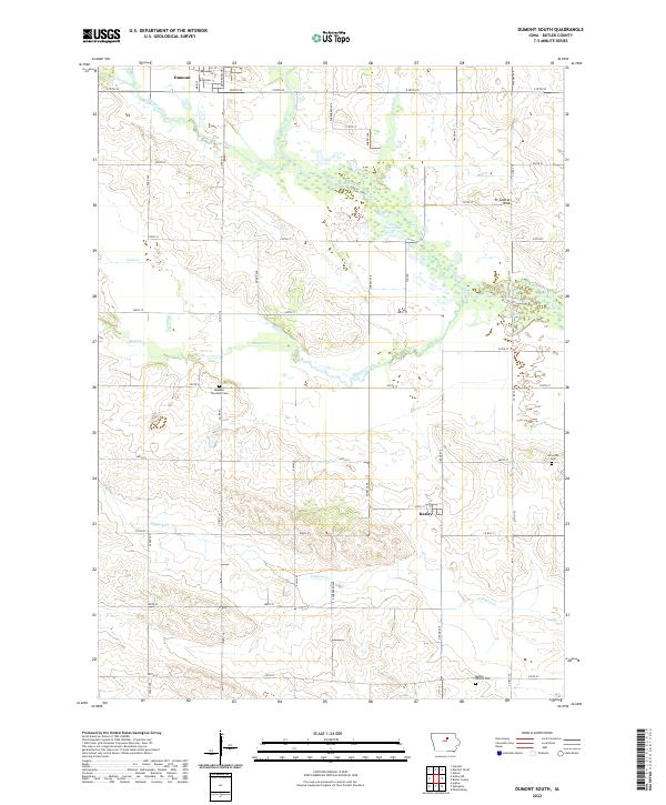
2022 Map of Dumont South
USGS Topo · Published 2022About this map
Dumont and Kesley anchor this rural Butler County landscape, where the agricultural grid is defined by a dense network of township roads and several significant waterways. The West Fork Cedar River winds through the central sections, creating a wetland corridor that includes Lake Considine. The terrain is marked by notable landmarks such as Ft Sumter Rock and the drainage basins of Maynes Creek, Hartgrave Creek, and Coon Cr.
Find a feature on this map
48 named features on this map. Tap any name to fly to it.
Don’t see what you’re looking for? This feature index may not catch every label — zoom into the map to look around manually.
Map Details
Editions of this 2022 Dumont South Map
This is the sole edition of this map. No revisions or reprints were ever made.
Other maps of this area

1954 · Waterloo
USGS Topo · 1:250,000

1955 · Waterloo
USGS Topo · 1:250,000

1972 · Dumont North
USGS Topo · 1:24,000

1972 · Hansell
USGS Topo · 1:24,000

1972 · Allison
USGS Topo · 1:24,000

1979 · Ackley NE
USGS Topo · 1:24,000

1979 · Ackley
USGS Topo · 1:24,000

1979 · Dumont South
USGS Topo · 1:24,000

1979 · Butler Center
USGS Topo · 1:24,000

1980 · Aplington
USGS Topo · 1:24,000