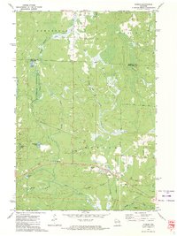
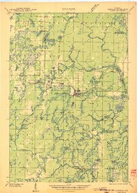
1972 Map of Dunbar
USGS Topo · Published 1974About this map
The settlement of Dunbar serves as the focal point for this northern Wisconsin landscape in the early 1970s, situated along the Soo Line tracks. The area's history of logging and public works is evident through features like Camp 12 and the site of an old CCC Camp near the North Branch Pike River. The map reveals a complex network of industrial and transport history, including an Old Railroad Grade and the Dunbar Airport.
Find a feature on this map
30 named features on this map. Tap any name to fly to it.
Don’t see what you’re looking for? This feature index may not catch every label — zoom into the map to look around manually.
Map Details
Editions of this 1972 Dunbar Map
This is the sole edition of this map. No revisions or reprints were ever made.
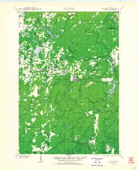
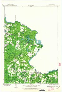
Other maps of this area
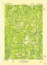
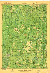
1939 · Dunbar
USGS Topo · 1:48,000
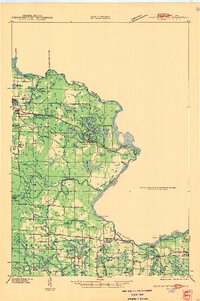
1939 · Goodman
USGS Topo · 1:48,000
1939 · Iron Mountain
USGS Topo · 1:48,000

1941 · Florence
USGS Topo · 1:48,000
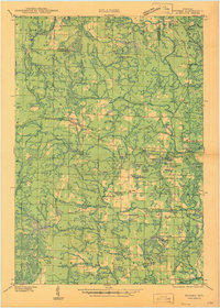
1941 · Dunbar
USGS Topo · 1:48,000

1941 · Iron Mountain
USGS Topo · 1:48,000
1946 · Goodman
USGS Topo · 1:48,000
1947 · Dunbar
USGS Topo · 1:48,000
1947 · Iron Mountain
USGS Topo · 1:48,000

1954 · Iron Mountain
USGS Topo · 1:250,000