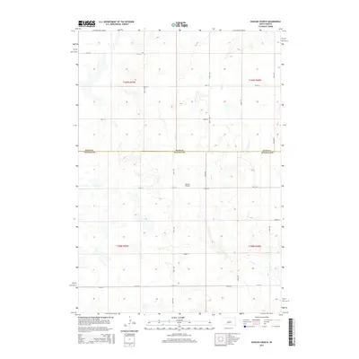
2015 Map of Duncan Church
USGS Topo · Published 2015About this map
Duncan Church stands as a focal point in this rural landscape within Buffalo County, marking a site of local significance amidst the sectioned fields of South Dakota. The land is defined by a systematic grid of township roads, including 355th Ave and 221st St, which facilitate transport across the prairie. The meandering course of Crow Cr cuts through the terrain, providing a natural break in the geometric precision of the Public Land Survey System. The map documents the jurisdictional divide at the Hand Co Buffalo Co boundary, illustrating how political lines bisect this agrarian region. This 2015 survey reflects the enduring spatial organization of the Great Plains, where isolated landmarks like churches and specific section roads serve as the primary navigational and social anchors for the surrounding community.
Find a feature on this map
19 named features on this map. Tap any name to fly to it.
Don’t see what you’re looking for? This feature index may not catch every label — zoom into the map to look around manually.
Map Details
Editions of this 2015 Duncan Church Map
This is the sole edition of this map. No revisions or reprints were ever made.
Other maps of this area

1949 · Vayland SW
USGS Topo · 1:24,000

1951 · Vayland SW
USGS Topo · 1:24,000

1953 · Huron
USGS Topo · 1:250,000

1954 · Huron
USGS Topo · 1:250,000

1973 · Big Bend Dam 4 SE
USGS Topo · 1:24,000

1973 · Ames
USGS Topo · 1:24,000

1973 · Gannvalley
USGS Topo · 1:24,000

1973 · Miller Dale Colony SW
USGS Topo · 1:24,000

1973 · Big Bend Dam 4 NW
USGS Topo · 1:24,000

1973 · Big Bend Dam 4 NE
USGS Topo · 1:24,000