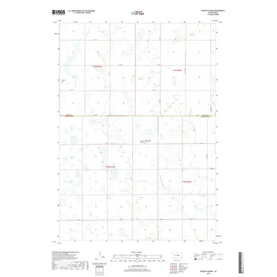
2017 Map of Duncan Church
USGS Topo · Published 2017About this map
The prairie landscape of Hand and Buffalo counties is defined by a grid of rural roads and the winding path of Crow Creek. This area of central South Dakota reflects a heritage of late 19th-century settlement where small country congregations and burial grounds served widely dispersed farming families. The map centers on Duncan Church, a local landmark that anchors this agricultural community. Further evidence of early township organization is found at the Saint Placidus Catholic Cemetery and the Mondamin Cemetery in the northwestern quadrant. These sites, preserved amid the township lines of t109n r69w and t108n r68w, offer vital touchstones for genealogists tracing the pioneer families who established these rural parishes and homesteads.
Find a feature on this map
23 named features on this map. Tap any name to fly to it.
Don’t see what you’re looking for? This feature index may not catch every label — zoom into the map to look around manually.
Map Details
Editions of this 2017 Duncan Church Map
This is the sole edition of this map. No revisions or reprints were ever made.
Other maps of this area

1949 · Vayland SW
USGS Topo · 1:24,000

1951 · Vayland SW
USGS Topo · 1:24,000

1953 · Huron
USGS Topo · 1:250,000

1954 · Huron
USGS Topo · 1:250,000

1973 · Big Bend Dam 4 SE
USGS Topo · 1:24,000

1973 · Ames
USGS Topo · 1:24,000

1973 · Gannvalley
USGS Topo · 1:24,000

1973 · Miller Dale Colony SW
USGS Topo · 1:24,000

1973 · Big Bend Dam 4 NW
USGS Topo · 1:24,000

1973 · Big Bend Dam 4 NE
USGS Topo · 1:24,000