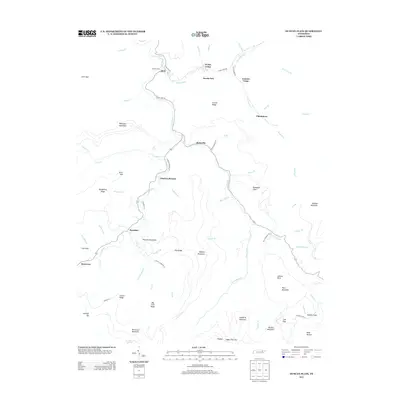
2013 Map of Duncan Flats
USGS Topo · Published 2013About this map
The New River carves a winding path through this portion of Anderson County, anchoring a landscape where small settlements like Rosedale and Stainville are connected by narrow mountain roads. This 2013 survey illustrates the enduring nature of the local topographic character, with the New River serving as the primary drainage for numerous tributaries such as Ligias Fork and Stony Fork. The mapping details several upland flats and ridges, including Pine Orchard Flats and Carroll Ridge, which overlook the river valley.
Find a feature on this map
81 named features on this map. Tap any name to fly to it.
Don’t see what you’re looking for? This feature index may not catch every label — zoom into the map to look around manually.
Map Details
Editions of this 2013 Duncan Flats Map
This is the sole edition of this map. No revisions or reprints were ever made.
Other maps of this area

1893 · Briceville
USGS Topo · 1:125,000

1895 · Briceville
USGS Topo · 1:125,000

1896 · Briceville
USGS Topo · 1:125,000

1936 · Hogbell Gap
USGS Topo · 1:24,000

1936 · Block
USGS Topo · 1:24,000

1936 · Jacksboro
USGS Topo · 1:24,000

1936 · Duncan Flats
USGS Topo · 1:24,000

1936 · Windrock
USGS Topo · 1:24,000

1936 · La Follette
USGS Topo · 1:48,000

1936 · Norris Dam
USGS Topo · 1:48,000