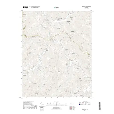
2019 Map of Duncan Flats
USGS Topo · Published 2019About this map
Rosedale and the surrounding high country of the Tennessee Valley Divide define this pocket of the Cumberland Mountains as it appeared in the late 2010s. The landscape is characterized by deep hollows and narrow ridges like Carroll Ridge and Patterson Mtn, where small settlements and logging or mining camps such as Welch Camp and Gennett Camp once anchored local life. The map is a significant resource for genealogists, documenting dozens of family-named burial sites including the Patterson Cemeteries, Ben Phillips Cem, and Grave Hill Cem.
Find a feature on this map
101 named features on this map. Tap any name to fly to it.
Don’t see what you’re looking for? This feature index may not catch every label — zoom into the map to look around manually.
Map Details
Editions of this 2019 Duncan Flats Map
This is the sole edition of this map. No revisions or reprints were ever made.
Other maps of this area

1893 · Briceville
USGS Topo · 1:125,000

1895 · Briceville
USGS Topo · 1:125,000

1896 · Briceville
USGS Topo · 1:125,000
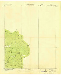
1936 · Hogbell Gap
USGS Topo · 1:24,000
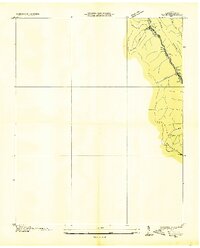
1936 · Block
USGS Topo · 1:24,000
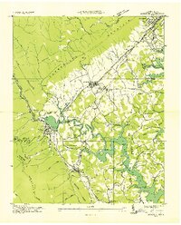
1936 · Jacksboro
USGS Topo · 1:24,000
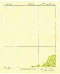
1936 · Duncan Flats
USGS Topo · 1:24,000
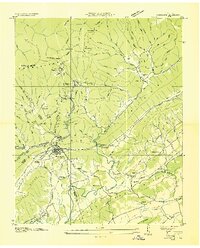
1936 · Windrock
USGS Topo · 1:24,000
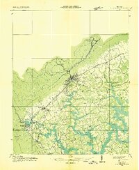
1936 · La Follette
USGS Topo · 1:48,000
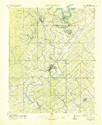
1936 · Norris Dam
USGS Topo · 1:48,000