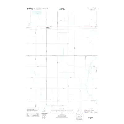
2013 Map of Duncan
USGS Topo · Published 2013About this map
The settlement of Duncan serves as the focal point for this Hancock County landscape, situated along a primary east-west transportation corridor. The terrain is defined by the headwaters and drainage patterns of the Iowa River, specifically the W Br Iowa River and the E Br Iowa River. These watercourses, along with Drainage Ditch Number 6, illustrate the engineered agricultural hydrology characteristic of this region. In the northern portion of the map, Eagle Lake provides a significant natural landmark amidst a strictly organized grid of rural roads like Nash Ave and Oak Ave. The precision of the section lines and the distribution of farmsteads reflect the enduring 19th-century land survey patterns that continue to dictate the placement of local infrastructure and community layout in the modern era.
Find a feature on this map
30 named features on this map. Tap any name to fly to it.
Don’t see what you’re looking for? This feature index may not catch every label — zoom into the map to look around manually.
Map Details
Editions of this 2013 Duncan Map
This is the sole edition of this map. No revisions or reprints were ever made.
Other maps of this area

1954 · Mason City
USGS Topo · 1:250,000

1954 · Waterloo
USGS Topo · 1:250,000

1955 · Waterloo
USGS Topo · 1:250,000

1957 · Mason City
USGS Topo · 1:250,000

1958 · Mason City
USGS Topo · 1:250,000

1972 · Kanawha
USGS Topo · 1:24,000

1972 · Hayfield
USGS Topo · 1:24,000

1972 · Olaf
USGS Topo · 1:24,000

1972 · Crystal Lake
USGS Topo · 1:24,000
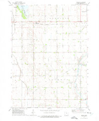
1972 · Duncan
USGS Topo · 1:24,000