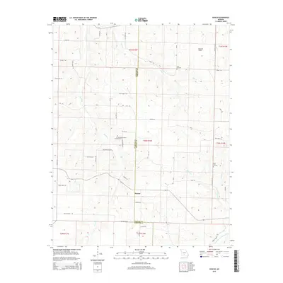
2015 Map of Duncan
USGS Topo · Published 2015About this map
Duncan is a focal point of this rural Ozark landscape along the border of Webster and Wright counties. The terrain is deeply carved by drainage systems including Cantrell Cr, Hyde Cr, and Bowman Cr, which eventually lead toward the Woods Fork Gasconade River at the southeastern edge. This 2015 survey reveals a community structure tied closely to its high ridges and narrow hollows, such as Buttrom Hollow.
Find a feature on this map
52 named features on this map. Tap any name to fly to it.
Don’t see what you’re looking for? This feature index may not catch every label — zoom into the map to look around manually.
Map Details
Editions of this 2015 Duncan Map
This is the sole edition of this map. No revisions or reprints were ever made.
Other maps of this area

1939 · Fordland
USGS Topo · 1:62,500

1942 · Fordland
USGS Topo · 1:62,500

1946 · Niangua
USGS Topo · 1:62,500

1948 · Niangua
USGS Topo · 1:62,500

1951 · Mansfield NE
USGS Topo · 1:24,000

1951 · Mansfield NW
USGS Topo · 1:24,000

1954 · Springfield
USGS Topo · 1:250,000

1956 · Duncan
USGS Topo · 1:24,000

1956 · Rader
USGS Topo · 1:24,000
1956 · Hartville
USGS Topo · 1:24,000