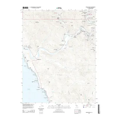
2015 Map of Duncans Mills
USGS Topo · Published 2015About this map
Russian River meandering through the coastal mountains of Sonoma County defines the character of this landscape, where the redwood-shaded canyons meet the Pacific Ocean. The namesake village of Duncans Mills serves as a central hub, accompanied by the historic Duncans Mills Cemetery and a network of riverfront settlements including Villa Grande, Guernewood Park, and Monte Rio. The intricate network of steep ravines is evidenced by descriptive local names such as Schoolhouse Gulch, Sawmill Gulch, and Slaughterhouse Gulch, hinting at the area's industrious past and rugged topography.
Find a feature on this map
97 named features on this map. Tap any name to fly to it.
Don’t see what you’re looking for? This feature index may not catch every label — zoom into the map to look around manually.
Map Details
Editions of this 2015 Duncans Mills Map
This is the sole edition of this map. No revisions or reprints were ever made.
Other maps of this area

1920 · Healdsburg
USGS Topo · 1:62,500

1921 · Skaggs
USGS Topo · 1:62,500

1933 · Healdsburg
USGS Topo · 1:48,000

1935 · Sebastopol
USGS Topo · 1:48,000

1940 · Healdsburg
USGS Topo · 1:62,500

1942 · Sebastopol
USGS Topo · 1:62,500

1942 · Bodega Head
USGS Topo · 1:24,000

1942 · Arched Rock
USGS Topo · 1:24,000

1943 · Cazadero
USGS Topo · 1:24,000

1943 · Duncans Mills
USGS Topo · 1:24,000