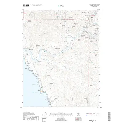
2018 Map of Duncans Mills
USGS Topo · Published 2018About this map
The Russian River winds through a landscape of deep gulches and coastal settlements before meeting the Pacific Ocean on this 2018 survey. The river valley is punctuated by several closely linked communities including Villa Grande, Monte Rio, and Duncans Mills, reflecting a long history of vacationing and river-based industry in Sonoma County. To the west, the settlement of Jenner sits at the river mouth near Penny Island, where the coastal geography is defined by the underlying San Andreas Fault running parallel to the shore.
Find a feature on this map
118 named features on this map. Tap any name to fly to it.
Don’t see what you’re looking for? This feature index may not catch every label — zoom into the map to look around manually.
Map Details
Editions of this 2018 Duncans Mills Map
This is the sole edition of this map. No revisions or reprints were ever made.
Other maps of this area

1920 · Healdsburg
USGS Topo · 1:62,500

1921 · Skaggs
USGS Topo · 1:62,500

1933 · Healdsburg
USGS Topo · 1:48,000

1935 · Sebastopol
USGS Topo · 1:48,000

1940 · Healdsburg
USGS Topo · 1:62,500

1942 · Sebastopol
USGS Topo · 1:62,500

1942 · Bodega Head
USGS Topo · 1:24,000

1942 · Arched Rock
USGS Topo · 1:24,000

1943 · Cazadero
USGS Topo · 1:24,000

1943 · Duncans Mills
USGS Topo · 1:24,000