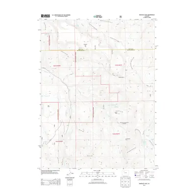
2013 Map of Dunckley Pass
USGS Topo · Published 2013About this map
Routt National Forest dominates this high-altitude landscape along the border of Routt and Rio Blanco Counties. The area is defined by its complex network of water management and alpine crossings, most notably Dunckley Pass and Yellowjacket Pass. A series of significant water bodies, including Sheriff Reservoir, Gill Reservoir, and J O K Reservoir, are connected by a system of man-made and natural waterways like the Egry Mesa Ditch.
Find a feature on this map
38 named features on this map. Tap any name to fly to it.
Don’t see what you’re looking for? This feature index may not catch every label — zoom into the map to look around manually.
Map Details
Editions of this 2013 Dunckley Pass Map
This is the sole edition of this map. No revisions or reprints were ever made.
Other maps of this area

1916 · Daton Peak
USGS Topo · 1:62,500

1920 · Daton Peak
USGS Topo · 1:62,500

1924 · Mt. Harris
USGS Topo · 1:48,000

1926 · Mount Harris
USGS Topo · 1:62,500

1954 · Craig
USGS Topo · 1:250,000

1957 · Craig
USGS Topo · 1:250,000

1958 · Craig
USGS Topo · 1:250,000

1960 · Craig
USGS Topo · 1:250,000

1962 · Craig
USGS Topo · 1:250,000

1964 · Craig
USGS Topo · 1:250,000