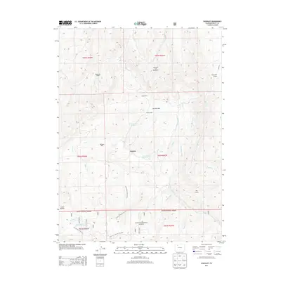
2013 Map of Dunckley
USGS Topo · Published 2013About this map
Williams Park and the settlement of Dunckley sit at the center of this high-altitude landscape in the southern reaches of the Williams Fork Mountains. The area is defined by an intricate network of water management and livestock-related hydrology, including the W Side Highland Ditch, Williams Park Ditch, and several named water bodies like Yoast Reservoir Number 1 and the James Marian Yoast Reservoir. These features suggest a history of ranching and irrigation in the valleys surrounding Dunckley Park. To the south, the terrain transitions into the protected timberlands of the Routt National Forest, where the topography becomes increasingly complex around Bear Gulch and Fish Creek Canyon. The map traces various backcountry routes, such as the North Dunckley Trail 1139.1, providing a record of the trails and 4WD tracks that connect these high meadows and reservoirs.
Find a feature on this map
39 named features on this map. Tap any name to fly to it.
Don’t see what you’re looking for? This feature index may not catch every label — zoom into the map to look around manually.
Map Details
Editions of this 2013 Dunckley Map
This is the sole edition of this map. No revisions or reprints were ever made.
Other maps of this area

1916 · Daton Peak
USGS Topo · 1:62,500

1920 · Daton Peak
USGS Topo · 1:62,500

1924 · Mt. Harris
USGS Topo · 1:48,000

1926 · Mount Harris
USGS Topo · 1:62,500

1954 · Craig
USGS Topo · 1:250,000

1957 · Craig
USGS Topo · 1:250,000

1958 · Craig
USGS Topo · 1:250,000

1960 · Craig
USGS Topo · 1:250,000

1962 · Craig
USGS Topo · 1:250,000

1964 · Craig
USGS Topo · 1:250,000