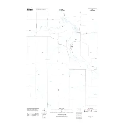
2013 Map of Dundee
USGS Topo · Published 2013About this map
The Maquoketa River carves a winding path through this corner of Delaware County, defining the local geography and recreational landscape. Most prominent is Backbone State Park, featuring the distinctive ridge known as The Backbone and the waters of Backbone Lake. This area was established as Iowa's first state park, and its enduring presence is reflected in the surrounding developments like the Forest Villa Resort and the nearby settlement of Forestville. The terrain is shaped by several watercourses including Sand Hagen Cr and Rieger Cr, which feed into the primary river system.
Find a feature on this map
50 named features on this map. Tap any name to fly to it.
Don’t see what you’re looking for? This feature index may not catch every label — zoom into the map to look around manually.
Map Details
Editions of this 2013 Dundee Map
This is the sole edition of this map. No revisions or reprints were ever made.
Other maps of this area

1900 · Anamosa
USGS Topo · 1:125,000

1901 · Oelwein
USGS Topo · 1:125,000

1902 · Elkader
USGS Topo · 1:125,000

1903 · Winthrop
USGS Topo · 1:125,000

1959 · Dubuque
USGS Topo · 1:250,000

1961 · Dubuque
USGS Topo · 1:250,000

1962 · Dubuque
USGS Topo · 1:250,000

1964 · Edgewood
USGS Topo · 1:24,000

1965 · Thorpe
USGS Topo · 1:24,000

1965 · Strawberry Point
USGS Topo · 1:24,000