
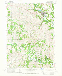
1965 Map of Strawberry Point
USGS Topo · Published 1966About this map
Strawberry Point serves as the central hub of this mid-1960s landscape, where the agricultural plains of northeast Iowa meet the carved valleys of the Maquoketa River. The town is dominated by the Chicago Milwaukee St Paul and Pacific railroad line, which bisects the terrain alongside infrastructure like the prominent Water Tank and Sewage Disposal Ponds. To the south, the terrain becomes more varied within the Backbone State Forest, featuring the Richmond Spring and a local Fish Hatchery.
Find a feature on this map
39 named features on this map. Tap any name to fly to it.
Don’t see what you’re looking for? This feature index may not catch every label — zoom into the map to look around manually.
Map Details
Editions of this 1965 Strawberry Point Map
This is the sole edition of this map. No revisions or reprints were ever made.
Other maps of this area

1901 · Oelwein
USGS Topo · 1:125,000

1902 · Elkader
USGS Topo · 1:125,000

1959 · Dubuque
USGS Topo · 1:250,000

1961 · Dubuque
USGS Topo · 1:250,000

1962 · Dubuque
USGS Topo · 1:250,000

1964 · Edgewood
USGS Topo · 1:24,000
1964 · Elkader
USGS Topo · 1:24,000

1965 · Wadena
USGS Topo · 1:24,000

1965 · Thorpe
USGS Topo · 1:24,000

1965 · Arlington
USGS Topo · 1:24,000