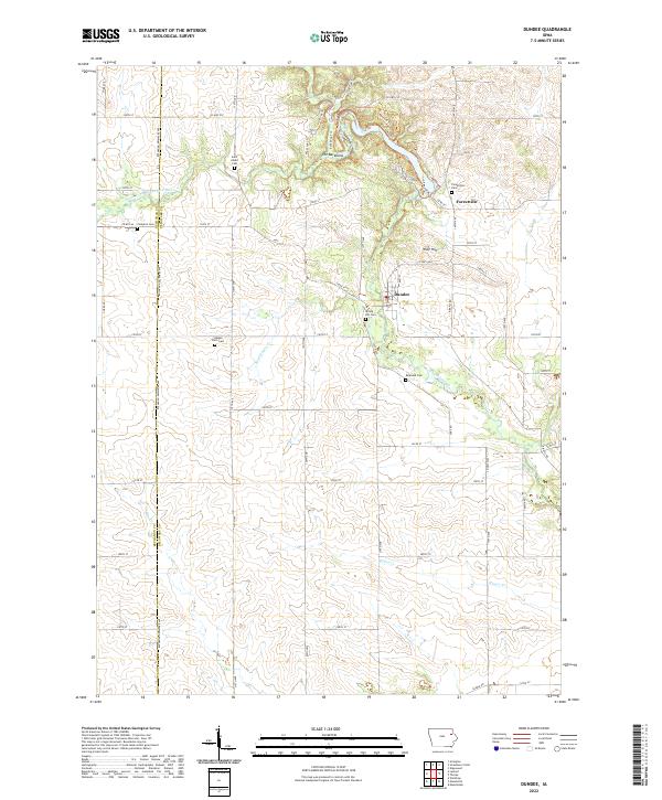
2022 Map of Dundee
USGS Topo · Published 2022About this map
The Backbone and its surrounding network of hiking paths, including Six Pines Trl and Bluebird Trl, dominate the northern portion of this Delaware and Buchanan County landscape. The Maquoketa River and the South Fork Maquoketa River carve through the terrain, anchoring the small settlements of Dundee and Forestville. This survey provides a precise look at the rural cemetery network, which serves as a vital resource for local genealogy, featuring sites such as Saint Albert Cem, Stanger Farm Cem, and Reynolds Cem. The intersection of agricultural section lines and winding waterways like Sand Hagen Cr and Rieger Cr illustrates the persistent rural character of eastern Iowa, where county roads and historical homesteads are still the primary features of the land.
Find a feature on this map
58 named features on this map. Tap any name to fly to it.
Don’t see what you’re looking for? This feature index may not catch every label — zoom into the map to look around manually.
Map Details
Editions of this 2022 Dundee Map
This is the sole edition of this map. No revisions or reprints were ever made.
Other maps of this area

1900 · Anamosa
USGS Topo · 1:125,000

1901 · Oelwein
USGS Topo · 1:125,000

1902 · Elkader
USGS Topo · 1:125,000

1903 · Winthrop
USGS Topo · 1:125,000

1959 · Dubuque
USGS Topo · 1:250,000

1961 · Dubuque
USGS Topo · 1:250,000

1962 · Dubuque
USGS Topo · 1:250,000

1964 · Edgewood
USGS Topo · 1:24,000

1965 · Thorpe
USGS Topo · 1:24,000

1965 · Strawberry Point
USGS Topo · 1:24,000