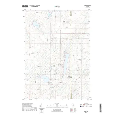
2018 Map of Dundee
USGS Topo · Published 2018About this map
The Milwaukee River and Long Lake define this glaciated landscape in Sheboygan and Fond du Lac counties, where the village of Dundee sits at the base of Dundee Mtn. This region is a showcase of glacial geology, featuring the Parnell Esker and numerous kettle ponds and lakes such as Kettle Moraine Lake, Spruce Lake, and Mud Lake. Small communities like Armstrong and Chinatown are scattered among the ridges, often anchored by local landmarks such as Sacred Heart Ch and the Armstrong Cem. The rugged terrain, preserved in part by the Ice Age National Scenic Trail, includes prominent elevations like Garriety Hill and McMullen Hill. The map also captures the local transportation and utility network, from the Kettle Moraine Airport to a series of rural roads like Co Hwy F and Scenic Dr that thread between the marshes and upland forests.
Find a feature on this map
60 named features on this map. Tap any name to fly to it.
Don’t see what you’re looking for? This feature index may not catch every label — zoom into the map to look around manually.
Map Details
Editions of this 2018 Dundee Map
This is the sole edition of this map. No revisions or reprints were ever made.
Other maps of this area

1910 · Fond du Lac
USGS Topo · 1:62,500

1954 · Kiel
USGS Topo · 1:62,500

1955 · Campbellsport
USGS Topo · 1:62,500

1955 · Kewaskum
USGS Topo · 1:62,500

1955 · Fond Du Lac
USGS Topo · 1:62,500

1957 · Madison
USGS Topo · 1:250,000

1960 · Madison
USGS Topo · 1:250,000

1974 · St. Cloud
USGS Topo · 1:24,000
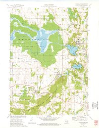
1974 · Elkhart Lake
USGS Topo · 1:24,000
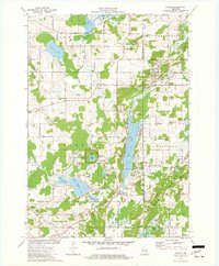
1974 · Dundee
USGS Topo · 1:24,000