
1974 Map of St. Cloud
USGS Topo · Published 1977About this map
Glacial geology and marshy lowlands define the landscape of eastern Fond du Lac County in the mid-1970s. The village of St Cloud and nearby Mt Calvary serve as central hubs, with the latter notably featuring the St Lawrence Seminary and the Villa Loretto Rest Home. The terrain is characterized by extensive conservation areas, including the Sheboygan Marsh State Wildlife Area to the northeast and the Mullet River State Wildlife Area to the south. Water plays a central role in the local economy and recreation, from the winding Sheboygan River to smaller basins like Wolf Lake and Paulys Lake. Numerous gravel pits across Marshfield and Greenbush townships indicate active mineral extraction during this period, while family-oriented landmarks such as Forest Home Cem and West Greenbush Cem provide essential data for local historians.
Find a feature on this map
46 named features on this map. Tap any name to fly to it.
Don’t see what you’re looking for? This feature index may not catch every label — zoom into the map to look around manually.
Map Details
Editions of this 1974 St. Cloud Map
This is the sole edition of this map. No revisions or reprints were ever made.
Other maps of this area

1910 · Fond du Lac
USGS Topo · 1:62,500

1954 · Kiel
USGS Topo · 1:62,500

1955 · Campbellsport
USGS Topo · 1:62,500

1955 · Kewaskum
USGS Topo · 1:62,500

1955 · Fond Du Lac
USGS Topo · 1:62,500

1957 · Madison
USGS Topo · 1:250,000

1960 · Madison
USGS Topo · 1:250,000
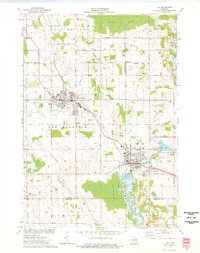
1974 · Kiel
USGS Topo · 1:24,000
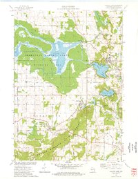
1974 · Elkhart Lake
USGS Topo · 1:24,000
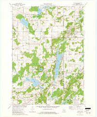
1974 · Dundee
USGS Topo · 1:24,000