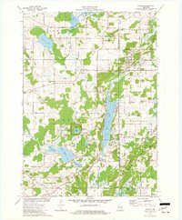
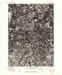
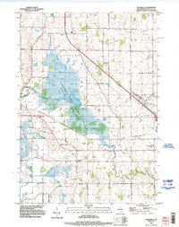
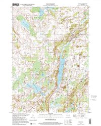
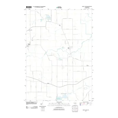
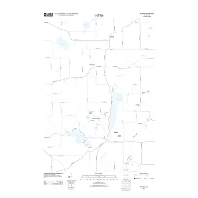
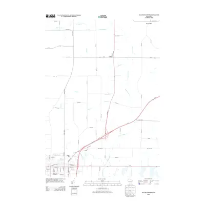
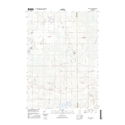
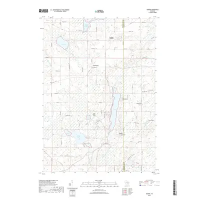
1974 Map of Dundee
USGS Topo · Published 1977About this map
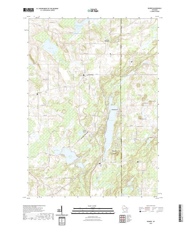
Kettle Moraine State Forest dominates this mid-1970s landscape, illustrating a complex glacial topography defined by kames, kettles, and the prominent Esker snaking through the terrain. The glacial legacy is preserved at the Spruce Lake Bog National Natural Landmark and across a series of deep-water basins including Long Lake, Mullet Lake, and Auburn Lake. This era shows the region as a developed recreation and conservation corridor, with the Glacial Hiking Trail and Bridle Trail winding through the hills near Dundee.
Find a feature on this map
63 named features on this map. Tap any name to fly to it.
Don’t see what you’re looking for? This feature index may not catch every label — zoom into the map to look around manually.
Map Details
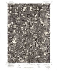
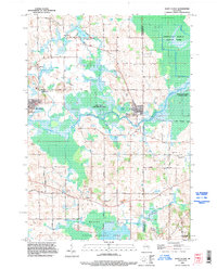
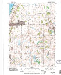
Editions of this 1974 Dundee Map
2 editions found
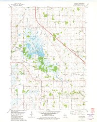
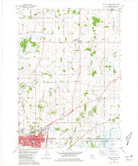
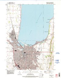
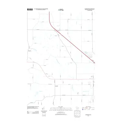
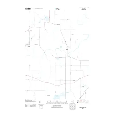
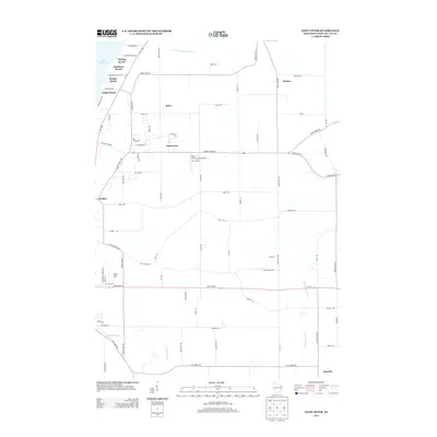
Historical Maps of Greenbush Through Time
44 maps found
1955 Fond Du Lac
Fond du Lac County, WI
1955 Fond Du Lac
Fond du Lac County, WI

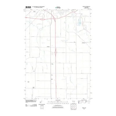
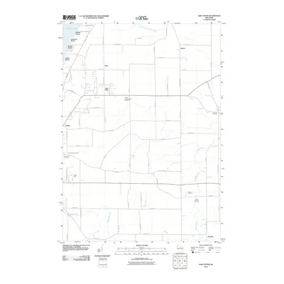
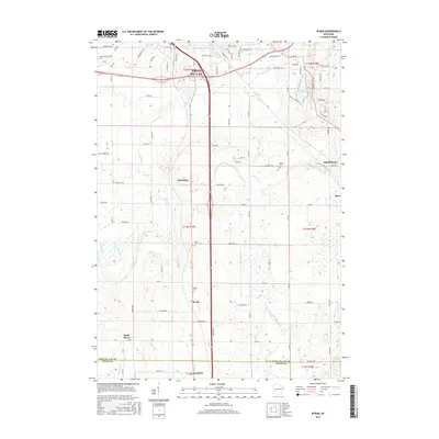
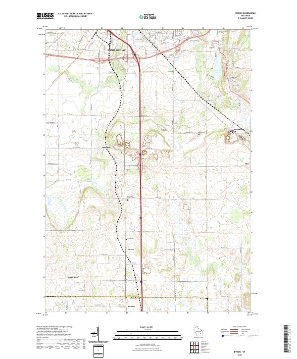
1974 Byron
Fond du Lac County, WI
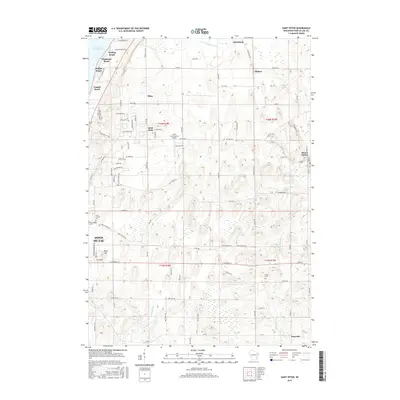
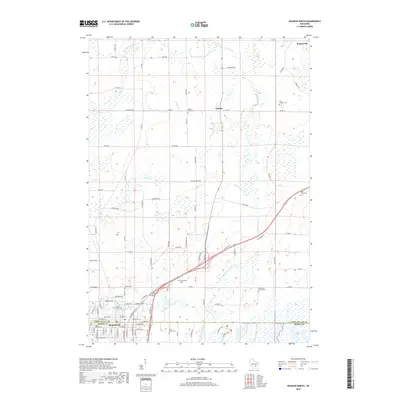
1974 Dundee
Fond du Lac County, WI
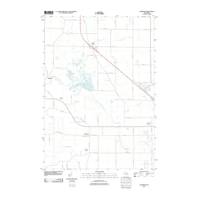
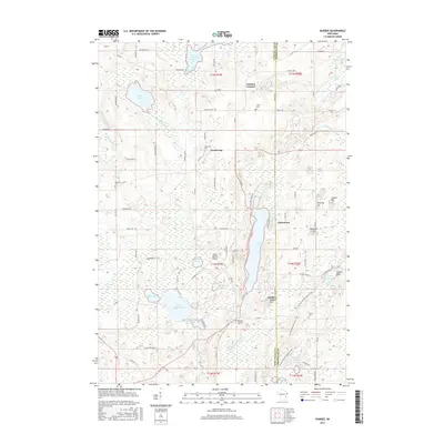
1975 Waupun NE
Fond du Lac County, WI
1975 Waupun NW
Fond du Lac County, WI
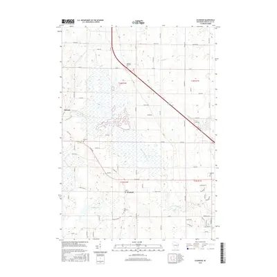
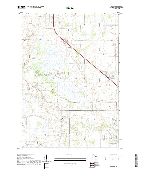
1980 Eldorado
Fond du Lac County, WI

1980 Fond Du Lac
Fond du Lac County, WI
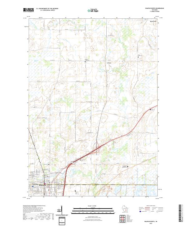
1980 Waupun North
Fond du Lac County, WI
1992 Eldorado
Fond du Lac County, WI
1992 Fond Du Lac
Fond du Lac County, WI
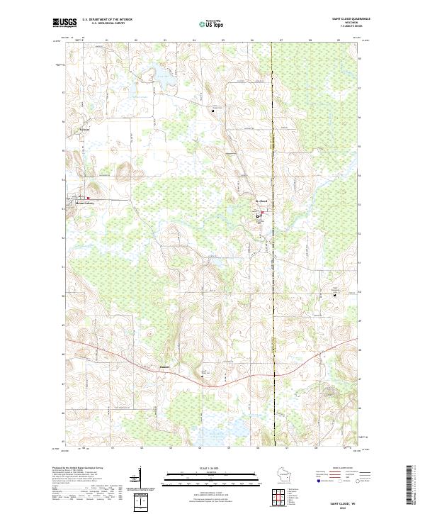
1992 Saint Cloud
Fond du Lac County, WI
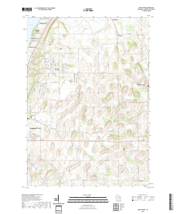
1992 Saint Peter
Fond du Lac County, WI
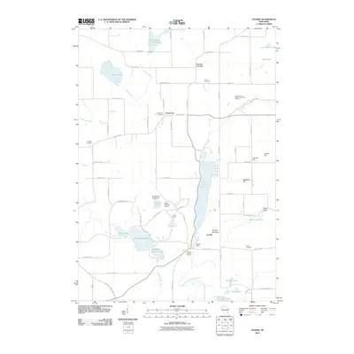
1999 Dundee
Fond du Lac County, WI
2010 Byron
Fond du Lac County, WI
2010 Dundee
Fond du Lac County, WI
2010 Eldorado
Fond du Lac County, WI
2010 Saint Cloud
Fond du Lac County, WI
2010 Saint Peter
Fond du Lac County, WI
2010 Waupun North
Fond du Lac County, WI
2013 Byron
Fond du Lac County, WI
2013 Dundee
Fond du Lac County, WI
2013 Eldorado
Fond du Lac County, WI
2013 Saint Cloud
Fond du Lac County, WI
2013 Saint Peter
Fond du Lac County, WI
2013 Waupun North
Fond du Lac County, WI
2015 Byron
Fond du Lac County, WI
2015 Dundee
Fond du Lac County, WI
2015 Eldorado
Fond du Lac County, WI
2015 Saint Cloud
Fond du Lac County, WI
2015 Saint Peter
Fond du Lac County, WI
2015 Waupun North
Fond du Lac County, WI
2018 Byron
Fond du Lac County, WI
2018 Dundee
Fond du Lac County, WI
2018 Eldorado
Fond du Lac County, WI
2018 Saint Cloud
Fond du Lac County, WI
2018 Saint Peter
Fond du Lac County, WI
2018 Waupun North
Fond du Lac County, WI
2022 Byron
Fond du Lac County, WI
2022 Dundee
Fond du Lac County, WI
2022 Eldorado
Fond du Lac County, WI
2022 Saint Cloud
Fond du Lac County, WI
2022 Saint Peter
Fond du Lac County, WI
2022 Waupun North
Fond du Lac County, WI