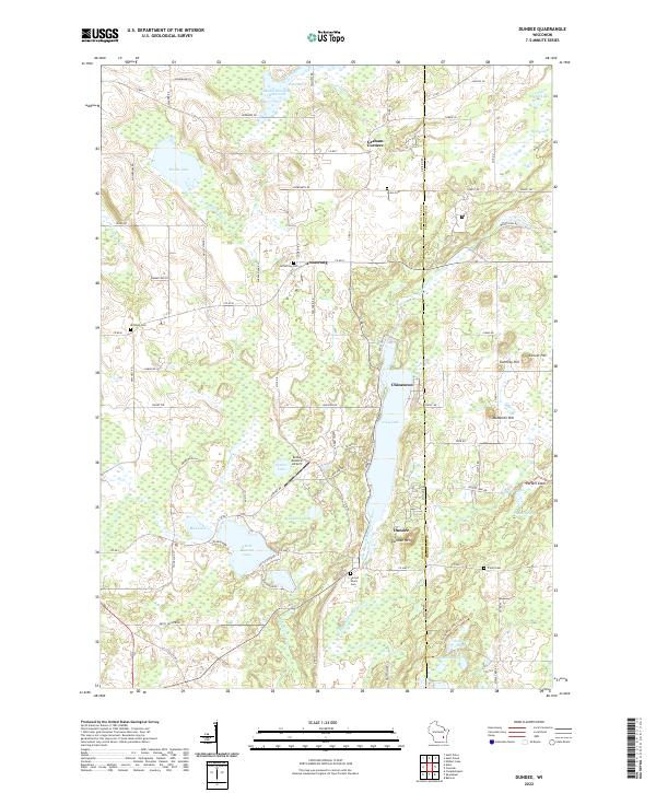
2022 Map of Dundee
USGS Topo · Published 2022About this map
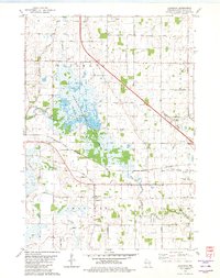
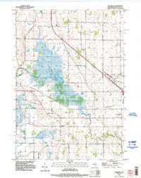
The East Branch Milwaukee River and Mullet River carve through this glacial landscape, framing the small communities of Dundee and Armstrong. The topography is defined by the Kettle Moraine system, featuring distinct glacial formations such as the Parnell Esker and several high points like Dundee Mtn and McMullen Hill. The area is densely packed with water bodies, including Long Lake, Kettle Moraine Lake, and Mullet Lake, which have long served as local recreational and environmental hubs.
Find a feature on this map
88 named features on this map. Tap any name to fly to it.
Don’t see what you’re looking for? This feature index may not catch every label — zoom into the map to look around manually.
Map Details
Editions of this 2022 Dundee Map
This is the sole edition of this map. No revisions or reprints were ever made.
Historical Maps of Armstrong Through Time
20 maps found
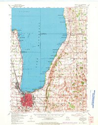
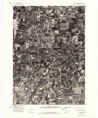
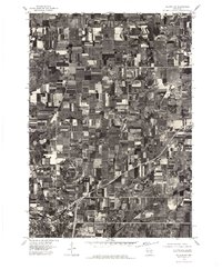
1955 Fond Du Lac
Fond du Lac County, WI
1955 Fond Du Lac
Fond du Lac County, WI

1974 Byron
Fond du Lac County, WI
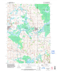
1974 Dundee
Fond du Lac County, WI
1975 Waupun NE
Fond du Lac County, WI
1975 Waupun NW
Fond du Lac County, WI
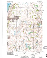
1980 Eldorado
Fond du Lac County, WI

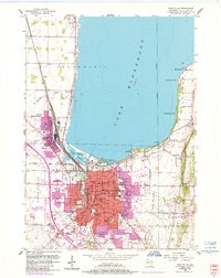
1980 Fond Du Lac
Fond du Lac County, WI
1980 Waupun North
Fond du Lac County, WI
1992 Eldorado
Fond du Lac County, WI
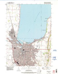
1992 Fond Du Lac
Fond du Lac County, WI
1992 Saint Cloud
Fond du Lac County, WI
1992 Saint Peter
Fond du Lac County, WI
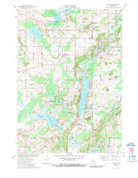
1999 Dundee
Fond du Lac County, WI
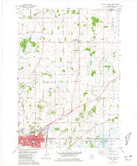
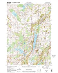
2022 Byron
Fond du Lac County, WI
2022 Dundee
Fond du Lac County, WI
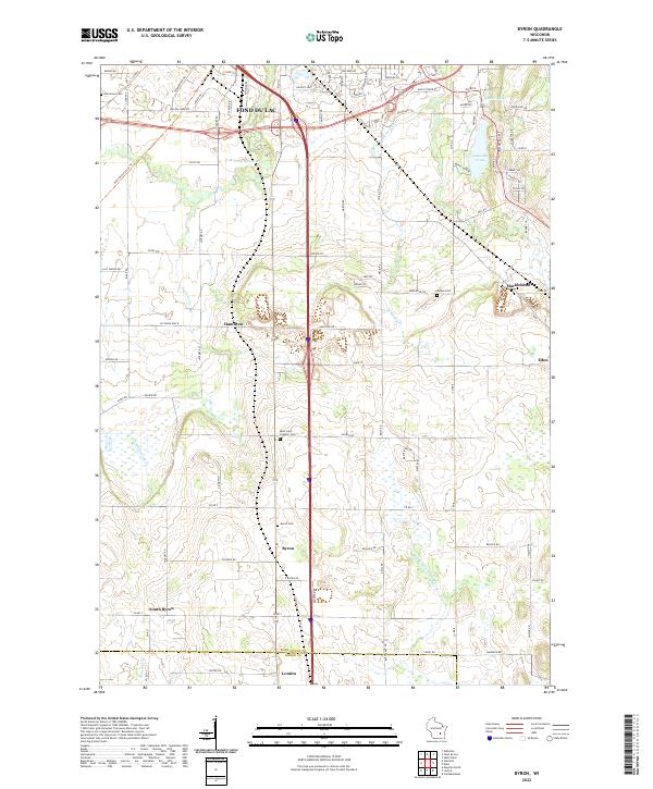
2022 Eldorado
Fond du Lac County, WI
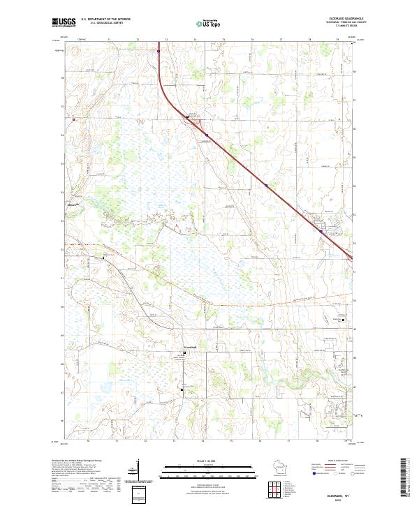
2022 Saint Cloud
Fond du Lac County, WI
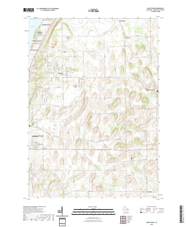
2022 Saint Peter
Fond du Lac County, WI
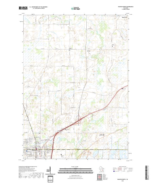
2022 Waupun North
Fond du Lac County, WI