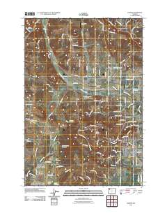
2011 Map of Dundee
USGS Topo · Published 2011About this map
The Red Hills of Dundee rise above the agricultural heart of Yamhill County, where the settlement of Dundee sits near the banks of the Willamette River. This 2011 survey captures a landscape defined by its distinctive topography and water management, featuring several named catchments including the Hickory Hill Farm Reservoir, Kuehne Reservoir, and Saint Josephs Reservoir. The terrain is marked by the prominent Ribbon Ridge to the northwest and the Chehalem Mountains to the northeast, while small aviation facilities like Chehalem Airpark and Ribbon Ridge Airport dot the rural countryside. Local history is anchored by long-standing landmarks such as the Lafayette Pioneer Cemetery and the Dundee Post Office, reflecting the enduring settlement patterns between the historical core of Lafayette and the expanding vineyard-rich hillsides above Hess Creek and Harvey Creek.
Find a feature on this map
106 named features on this map. Tap any name to fly to it.
Don’t see what you’re looking for? This feature index may not catch every label — zoom into the map to look around manually.
Map Details
Editions of this 2011 Dundee Map
This is the sole edition of this map. No revisions or reprints were ever made.
Other maps of this area

1916 · Tualatin
USGS Topo · 1:62,500

1923 · Mount Angel
USGS Topo · 1:62,500

1924 · Mc Minnville
USGS Topo · 1:48,000

1926 · Mc Minnville
USGS Topo · 1:62,500

1939 · Tualatin
USGS Topo · 1:62,500

1940 · McMinnville
USGS Topo · 1:62,500

1940 · Tualatin
USGS Topo · 1:62,500

1940 · Mount Angel
USGS Topo · 1:62,500

1941 · Yamhill
USGS Topo · 1:62,500

1942 · Yamhill
USGS Topo · 1:62,500