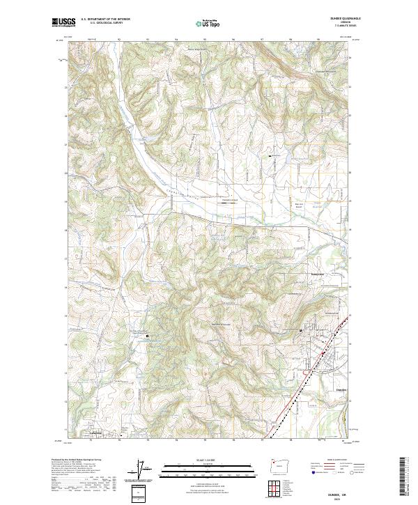
2023 Map of Dundee
USGS Topo · Published 2023About this map
The Red Hills of Dundee define this agricultural landscape in Yamhill County, where the transition from the valley floor to the prominent Ribbon Ridge has long supported local orchards and vineyards. The town of Dundee sits along the southeastern edge, serving as a gateway to the Chehalem Valley, while Lafayette anchors the southwestern corner. This contemporary survey details a complex network of water resources, including Tilikum Lake, Walker Reservoir, and Kunz Reservoir, which are critical for the region's land use.
Find a feature on this map
125 named features on this map. Tap any name to fly to it.
Don’t see what you’re looking for? This feature index may not catch every label — zoom into the map to look around manually.
Map Details
Editions of this 2023 Dundee Map
This is the sole edition of this map. No revisions or reprints were ever made.
Other maps of this area

1916 · Tualatin
USGS Topo · 1:62,500

1923 · Mount Angel
USGS Topo · 1:62,500

1924 · Mc Minnville
USGS Topo · 1:48,000

1926 · Mc Minnville
USGS Topo · 1:62,500

1939 · Tualatin
USGS Topo · 1:62,500

1940 · McMinnville
USGS Topo · 1:62,500

1940 · Tualatin
USGS Topo · 1:62,500

1940 · Mount Angel
USGS Topo · 1:62,500

1941 · Yamhill
USGS Topo · 1:62,500

1942 · Yamhill
USGS Topo · 1:62,500