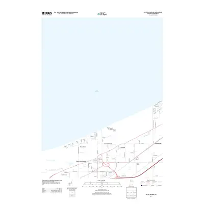
2013 Map of Dune Acres
USGS Topo · Published 2013About this map
Lake Michigan dominates the northern horizon of this Porter County landscape, where the shifting sands meet a network of early 21st-century residential developments and industrial sites. The unique topography of the Indiana dunes is marked by significant elevations like Mount Tom, Mount Holden, and Mount Jackson, which overlook the wooded residential streets of Dune Acres. To the south, the transit-oriented community of Dune Acres Station and the small settlements of Tremont and Furnessville illustrate the historical persistence of local nodes along the regional transportation corridors.
Find a feature on this map
84 named features on this map. Tap any name to fly to it.
Don’t see what you’re looking for? This feature index may not catch every label — zoom into the map to look around manually.
Map Details
Editions of this 2013 Dune Acres Map
This is the sole edition of this map. No revisions or reprints were ever made.
Other maps of this area

1934 · Porter
USGS Topo · 1:48,000

1940 · Porter
USGS Topo · 1:62,500

1953 · Garyton
USGS Topo · 1:24,000

1953 · Westville
USGS Topo · 1:24,000

1953 · Ogden Dunes
USGS Topo · 1:24,000

1953 · Chesterton
USGS Topo · 1:24,000

1953 · Dune Acres
USGS Topo · 1:24,000

1953 · Michigan City West
USGS Topo · 1:24,000

1953 · Chicago
USGS Topo · 1:250,000

1957 · Chicago
USGS Topo · 1:250,000