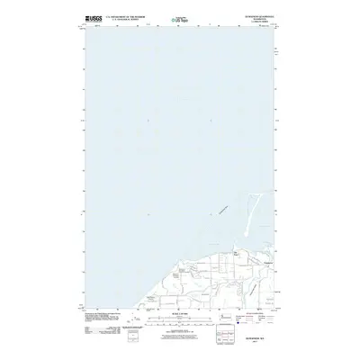
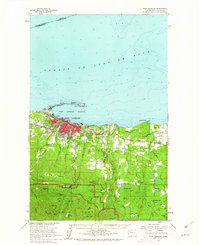
2011 Map of Dungeness
USGS Topo · Published 2011About this map
Dungeness Spit creates a distinctive natural harbor for Dungeness Bay, protecting the historic shoreline of the Dungeness Valley. This 2011 survey illustrates the coastal geography of the Strait of Juan de Fuca alongside the evolving residential and agricultural footprint of Dungeness and Old Town. The landscape is characterized by its proximity to the water, where the Dungeness River and Matriotti Creek drain into the sound.
Find a feature on this map
40 named features on this map. Tap any name to fly to it.
Don’t see what you’re looking for? This feature index may not catch every label — zoom into the map to look around manually.
Map Details
Editions of this 2011 Dungeness Map
This is the sole edition of this map. No revisions or reprints were ever made.
Other maps of this area

1918 · Port Angeles
USGS Topo · 1:62,500

1938 · Dungeness
USGS Topo · 1:62,500

1939 · Dungeness
USGS Topo · 1:62,500

1941 · Port Angeles
USGS Topo · 1:62,500

1956 · Sequim
USGS Topo · 1:24,000
1956 · Carlsborg
USGS Topo · 1:24,000
1956 · Morse Creek
USGS Topo · 1:24,000

1957 · Victoria
USGS Topo · 1:250,000
1961 · Morse Creek
USGS Topo · 1:24,000
1961 · Port Angeles
USGS Topo · 1:62,500