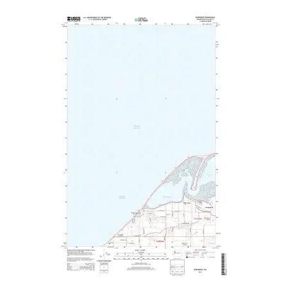
2014 Map of Dungeness
USGS Topo · Published 2014About this map
Old Town and the settlement of Dungeness sit at the edge of the Dungeness Bay, where the shoreline transitions into the waters of Puget Sound. The landscape is defined by the mouth of the Dungeness River and the small drainage of Matriotti Cr, which flows through the fertile Dungeness Valley. This area shows a blend of coastal recreation and rural infrastructure, from the Dungeness Recreation Area Campground near the bluffs to local airstrips like Blue Ribbon Airport and Rake's Glen Airport. A network of country roads, such as Lotzgesell Rd and Marine Dr, connects the residential clusters and agricultural plots. Inland, a system of trails including the People Trail and Horse Trail provides specialized access through the coastal terrain, highlighting the region's modern focus on recreation alongside its established maritime and farming heritage.
Find a feature on this map
34 named features on this map. Tap any name to fly to it.
Don’t see what you’re looking for? This feature index may not catch every label — zoom into the map to look around manually.
Map Details
Editions of this 2014 Dungeness Map
This is the sole edition of this map. No revisions or reprints were ever made.
Other maps of this area

1918 · Port Angeles
USGS Topo · 1:62,500

1938 · Dungeness
USGS Topo · 1:62,500

1939 · Dungeness
USGS Topo · 1:62,500

1941 · Port Angeles
USGS Topo · 1:62,500

1956 · Sequim
USGS Topo · 1:24,000
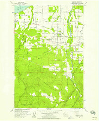
1956 · Carlsborg
USGS Topo · 1:24,000
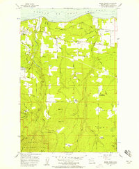
1956 · Morse Creek
USGS Topo · 1:24,000

1957 · Victoria
USGS Topo · 1:250,000
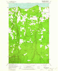
1961 · Morse Creek
USGS Topo · 1:24,000
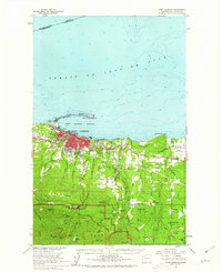
1961 · Port Angeles
USGS Topo · 1:62,500