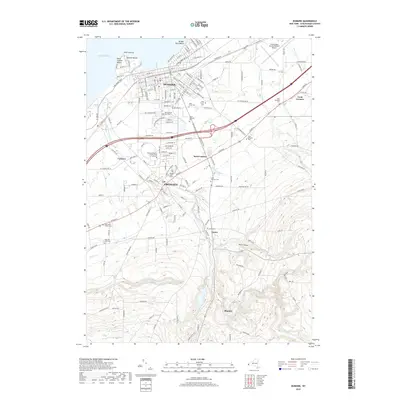
2019 Map of Dunkirk
USGS Topo · Published 2019About this map
Lake Erie defines the northern edge of this Lake Erie shoreline study, where the port city of Dunkirk and the village of Fredonia sit as established centers of education and commerce. The campus of the State University of New York at Fredonia serves as a prominent landmark between the two settlements, while the surrounding landscape is marked by numerous historic burial grounds including the expansive Forest Hill Cemetery and Saint Marys Cem.
Find a feature on this map
160 named features on this map. Tap any name to fly to it.
Don’t see what you’re looking for? This feature index may not catch every label — zoom into the map to look around manually.
Map Details
Editions of this 2019 Dunkirk Map
This is the sole edition of this map. No revisions or reprints were ever made.
Other maps of this area

1899 · Silver Creek
USGS Topo · 1:62,500

1900 · Dunkirk
USGS Topo · 1:62,500

1900 · Cherry Creek
USGS Topo · 1:62,500

1941 · Cherry Creek
USGS Topo · 1:62,500

1943 · Dunkirk
USGS Topo · 1:62,500

1943 · Silver Creek
USGS Topo · 1:24,000

1944 · Silver Creek
USGS Topo · 1:31,680
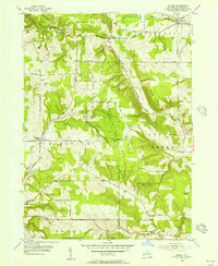
1954 · Hamlet
USGS Topo · 1:24,000

1954 · Forestville
USGS Topo · 1:24,000
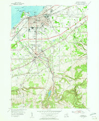
1954 · Dunkirk
USGS Topo · 1:24,000