
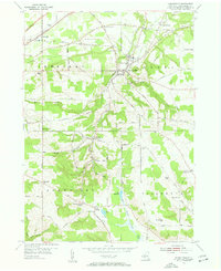
1954 Map of Forestville
USGS Topo · Published 1956About this map
Walnut Creek carves a deep valley through the center of this Chautauqua County landscape, anchoring the village of Forestville. In the mid-1950s, the region was defined by its transition from valley floor agriculture to the rising elevations of Tupper Hill and Pope Hill. The Erie RR cuts across the northern flats, connecting Sheridan with the broader rail network of Western New York.
Find a feature on this map
64 named features on this map. Tap any name to fly to it.
Don’t see what you’re looking for? This feature index may not catch every label — zoom into the map to look around manually.
Map Details
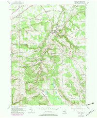
Editions of this 1954 Forestville Map
Other maps of this area

1899 · Silver Creek
USGS Topo · 1:62,500

1900 · Dunkirk
USGS Topo · 1:62,500

1900 · Cherry Creek
USGS Topo · 1:62,500

1941 · Cherry Creek
USGS Topo · 1:62,500

1943 · Dunkirk
USGS Topo · 1:62,500

1943 · Silver Creek
USGS Topo · 1:24,000

1944 · Farnham
USGS Topo · 1:31,680

1944 · Silver Creek
USGS Topo · 1:31,680
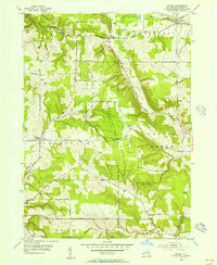
1954 · Hamlet
USGS Topo · 1:24,000
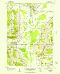
1954 · Cherry Creek
USGS Topo · 1:24,000