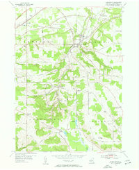
1954 Map of Forestville
USGS Topo · Published 1956About this map
Forestville and the surrounding townships of Sheridan, Hanover, Arkwright, and Villenova are documented here just as the mid-century landscape began to shift. While the Erie RR still cuts through the northern corridor near Sheridan, the northwestern corner records the N Y S Thruway under construction, signaling a major transition in regional transportation. The map is particularly dense with rural landmarks, showing a network of numbered schools like School No 4 and School No 9 alongside numerous family-named crossroads such as Hawkins Corner, Keaches Corners, and the colorfully named Chicken Tavern Corners. Steep ridges and stream valleys are defined by Walnut Creek and Scott Creek, while several small burial grounds, including Pioneer Cem and Arkwright Summit Cem, provide significant touchstones for local genealogical research in this part of Chautauqua County.
Find a feature on this map
77 named features on this map. Tap any name to fly to it.
Don’t see what you’re looking for? This feature index may not catch every label — zoom into the map to look around manually.
Map Details
Editions of this 1954 Forestville Map
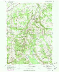
Other maps of this area

1899 · Silver Creek
USGS Topo · 1:62,500

1900 · Dunkirk
USGS Topo · 1:62,500

1900 · Cherry Creek
USGS Topo · 1:62,500

1941 · Cherry Creek
USGS Topo · 1:62,500

1943 · Dunkirk
USGS Topo · 1:62,500

1943 · Silver Creek
USGS Topo · 1:24,000

1944 · Farnham
USGS Topo · 1:31,680

1944 · Silver Creek
USGS Topo · 1:31,680
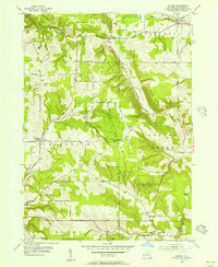
1954 · Hamlet
USGS Topo · 1:24,000

1954 · Forestville
USGS Topo · 1:24,000