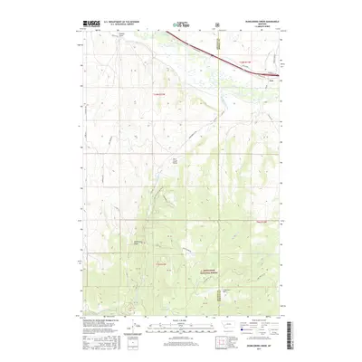
2017 Map of Dunkleberg Creek
USGS Topo · Published 2017About this map
Jens sits along the northern edge of this Montana landscape, where the Clark Fork river and the historic Mullan Trl define the primary corridor of travel. The terrain rises sharply to the south into the Flint Creek Range, dominated by the expansive Deerlodge National Forest. Significant drainage systems including Dunkleberg Creek and Perkins Cr carve through the high country, leading toward high-elevation landmarks like Dunkleberg Ridge. The presence of the Goldberg Reservoir and the Lone Tree Hill region suggests a landscape managed for both natural resources and water control. Local history researchers can trace old ranching and forest access routes such as Dunkleberg Cr Rd and Jackson Park Rd, which connect the river valley to the more remote interior basins and gulches.
Find a feature on this map
80 named features on this map. Tap any name to fly to it.
Don’t see what you’re looking for? This feature index may not catch every label — zoom into the map to look around manually.
Map Details
Editions of this 2017 Dunkleberg Creek Map
This is the sole edition of this map. No revisions or reprints were ever made.
Other maps of this area

1889 · Helena
USGS Topo · 1:250,000

1893 · Helena
USGS Topo · 1:250,000

1899 · Helena
USGS Topo · 1:250,000

1903 · Helena
USGS Topo · 1:250,000

1908 · Philipsburg
USGS Topo · 1:125,000

1919 · Drummond
USGS Topo · 1:125,000

1921 · Drummond
USGS Topo · 1:125,000

1947 · Butte
USGS Topo · 1:250,000

1958 · Butte
USGS Topo · 1:250,000

1958 · Drummond
USGS Topo · 1:62,500