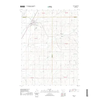
2018 Map of Dunlap
USGS Topo · Published 2018About this map
Dunlap serves as a primary hub for this agricultural region in the late 2010s, situated at the intersection of Ia 37 and Co HWY f14. The town's grid is well-defined by residential and commercial streets, including Iowa Ave and Lincoln Way. The surrounding landscape is characterized by the winding course of the Boyer River and its tributaries, such as Mill Creek and Picayune Creek.
Find a feature on this map
73 named features on this map. Tap any name to fly to it.
Don’t see what you’re looking for? This feature index may not catch every label — zoom into the map to look around manually.
Map Details
Editions of this 2018 Dunlap Map
This is the sole edition of this map. No revisions or reprints were ever made.
Other maps of this area

1954 · Omaha
USGS Topo · 1:250,000

1957 · Omaha
USGS Topo · 1:250,000

1958 · Omaha
USGS Topo · 1:250,000

1971 · Earling
USGS Topo · 1:24,000

1971 · Dunlap SW
USGS Topo · 1:24,000

1971 · Dunlap
USGS Topo · 1:24,000
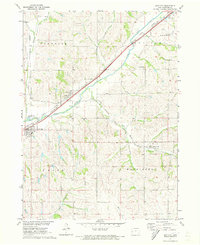
1971 · Dow City
USGS Topo · 1:24,000
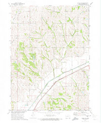
1971 · Dunlap NE
USGS Topo · 1:24,000
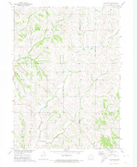
1971 · Dunlap NW
USGS Topo · 1:24,000

1978 · Panama
USGS Topo · 1:24,000