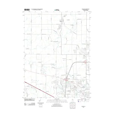
2012 Map of Dunlap
USGS Topo · Published 2012About this map
Dunlap serves as a central hub in this landscape northwest of Peoria, where residential expansion meets the winding course of Kickapoo Cr. The map reveals a transition from traditional agrarian layouts to suburban developments, particularly visible in the emerging neighborhoods of Lynnhurst and the waterfront properties near Charter Oak North Lake. Significant for genealogical research, several historic burial grounds are scattered across the terrain, including Saint Clement's Cem and the Dickeson Cem on W Dickison Cemetery Rd. Transportation and recreation are key themes, with the Frye Ultralight Airport positioned just north of Dunlap and the Kellogg Golf Course near Pioneer. The presence of the Evans Mill Bridge over Kickapoo Cr suggests a link to earlier milling history along the water, while the dense network of modern roads like W Grange Hall Rd indicates the area's ongoing growth into the 21st century.
Find a feature on this map
104 named features on this map. Tap any name to fly to it.
Don’t see what you’re looking for? This feature index may not catch every label — zoom into the map to look around manually.
Map Details
Editions of this 2012 Dunlap Map
This is the sole edition of this map. No revisions or reprints were ever made.
Other maps of this area

1893 · Dunlap
USGS Topo · 1:62,500

1898 · Dunlap
USGS Topo · 1:62,500

1905 · Peoria
USGS Topo · 1:62,500

1927 · Peoria
USGS Topo · 1:62,500

1930 · Glasford
USGS Topo · 1:62,500

1932 · Dunlap
USGS Topo · 1:62,500

1933 · Dunlap
USGS Topo · 1:62,500

1937 · Dunlap
USGS Topo · 1:62,500

1944 · Elmwood
USGS Topo · 1:62,500

1948 · Elmwood
USGS Topo · 1:62,500