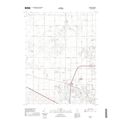
2018 Map of Dunlap
USGS Topo · Published 2018About this map
Dunlap and the surrounding Peoria County landscape are defined by the winding course of Kickapoo Cr and its tributaries, including Hickory Run and Fargo Run. This 2018 survey illustrates the expansion of Peoria through developing areas like Orange Prairie, Pioneer, and Creighton Ter. Local history and genealogy are anchored by several notable burial grounds, such as Saint Clement's Cem to the north and Resurrection Cem and Swan Lake Memory Gardens in the more densely settled southern sections. The map also identifies local institutions and infrastructure like Methodist College and the Sisk RLA Airport. Evidence of earlier rural life remains visible through features like the Evans Mill Bridge and the Dickson Cem, providing a detailed look at how modern residential growth has integrated with the older agricultural foundations of the region.
Find a feature on this map
145 named features on this map. Tap any name to fly to it.
Don’t see what you’re looking for? This feature index may not catch every label — zoom into the map to look around manually.
Map Details
Editions of this 2018 Dunlap Map
This is the sole edition of this map. No revisions or reprints were ever made.
Other maps of this area

1893 · Dunlap
USGS Topo · 1:62,500

1898 · Dunlap
USGS Topo · 1:62,500

1905 · Peoria
USGS Topo · 1:62,500

1927 · Peoria
USGS Topo · 1:62,500

1930 · Glasford
USGS Topo · 1:62,500

1932 · Dunlap
USGS Topo · 1:62,500

1933 · Dunlap
USGS Topo · 1:62,500

1937 · Dunlap
USGS Topo · 1:62,500

1944 · Elmwood
USGS Topo · 1:62,500

1948 · Elmwood
USGS Topo · 1:62,500