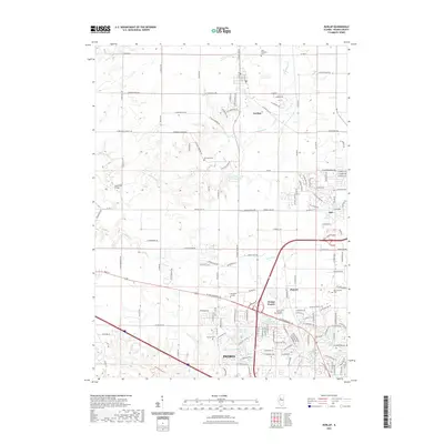
2021 Map of Dunlap
USGS Topo · Published 2021About this map
Peoria extends its suburban footprint northward across this landscape, where the traditional agricultural character of Peoria County meets modern residential expansion. The settlement of Dunlap serves as a central hub, surrounded by a network of rural roads such as W Legion Hall Rd and Salem School Rd. To the south, the terrain becomes more developed near Methodist College and the growing communities of Pioneer and Orange Prairie.
Find a feature on this map
144 named features on this map. Tap any name to fly to it.
Don’t see what you’re looking for? This feature index may not catch every label — zoom into the map to look around manually.
Map Details
Editions of this 2021 Dunlap Map
This is the sole edition of this map. No revisions or reprints were ever made.
Other maps of this area

1893 · Dunlap
USGS Topo · 1:62,500

1898 · Dunlap
USGS Topo · 1:62,500

1905 · Peoria
USGS Topo · 1:62,500

1927 · Peoria
USGS Topo · 1:62,500

1930 · Glasford
USGS Topo · 1:62,500

1932 · Dunlap
USGS Topo · 1:62,500

1933 · Dunlap
USGS Topo · 1:62,500

1937 · Dunlap
USGS Topo · 1:62,500

1944 · Elmwood
USGS Topo · 1:62,500

1948 · Elmwood
USGS Topo · 1:62,500