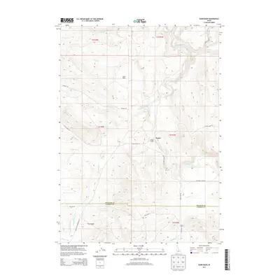
2013 Map of Dunn Basin
USGS Topo · Published 2013About this map
Dunn Basin sits at a geographic crossroads in southeastern Idaho, where the high-altitude drainages of the Blackfoot River and the Portneuf River nearly meet. In 2013, this landscape shows the intersection of the Bingham Co Caribou Co line, marked by ranching activity and a network of mountain roads. The settlement at Morgan is a primary waypoint in this terrain, situated near the Morgan Bridge crossing of the Blackfoot. A variety of family and descriptive landmarks populate the map, from the remote Austin Ranch in the south to the northern reaches of Beaver Cr and Supon Cr. The transition between the high basin and the river valleys is traced by the historic paths of Lincoln Creek Rd and Deadman Rd, which followed established routes through the rugged township boundaries of t4s r39e and its neighbors.
Find a feature on this map
28 named features on this map. Tap any name to fly to it.
Don’t see what you’re looking for? This feature index may not catch every label — zoom into the map to look around manually.
Map Details
Editions of this 2013 Dunn Basin Map
This is the sole edition of this map. No revisions or reprints were ever made.
Other maps of this area

1917 · Portneuf
USGS Topo · 1:62,500

1918 · Paradise Valley
USGS Topo · 1:62,500

1951 · Higham Peak
USGS Topo · 1:24,000

1954 · Pocatello
USGS Topo · 1:250,000

1955 · Yandell Springs
USGS Topo · 1:62,500

1955 · Idaho Falls
USGS Topo · 1:250,000

1955 · Driggs
USGS Topo · 1:250,000

1955 · Preston
USGS Topo · 1:250,000

1958 · Driggs
USGS Topo · 1:250,000

1958 · Idaho Falls
USGS Topo · 1:250,000