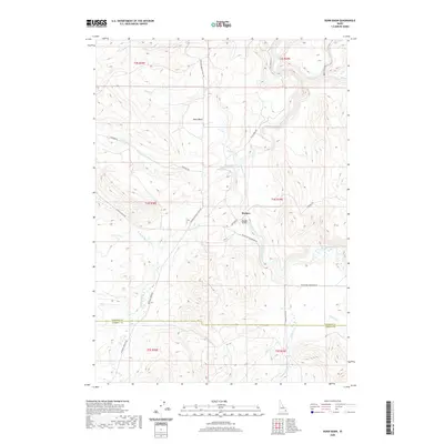
2020 Map of Dunn Basin
USGS Topo · Published 2020About this map
The Morgan settlement serves as the primary landmark in this interior portion of Idaho, situated near the crossing of the Blackfoot River. The landscape is defined by the hydrologic divide between the Blackfoot River and the Portneuf River, which meanders through the southwestern corner of the quadrangle. The namesake Dunn Basin occupies the central northern territory, flanked by a network of seasonal drainages including Supon Cr and Deadman Cr. Transport through this undulating terrain relies on established routes such as Paradise Rd and the Portneuf Presto Trail Rd, which navigate the various ridgelines and creek bottoms. At the border of Bingham and Caribou Counties, the Morgan Bridge provides a critical connection over the river, illustrating the localized infrastructure supporting the high-elevation ranching and watershed management of the region.
Find a feature on this map
30 named features on this map. Tap any name to fly to it.
Don’t see what you’re looking for? This feature index may not catch every label — zoom into the map to look around manually.
Map Details
Editions of this 2020 Dunn Basin Map
This is the sole edition of this map. No revisions or reprints were ever made.
Other maps of this area

1917 · Portneuf
USGS Topo · 1:62,500

1918 · Paradise Valley
USGS Topo · 1:62,500

1951 · Higham Peak
USGS Topo · 1:24,000

1954 · Pocatello
USGS Topo · 1:250,000

1955 · Yandell Springs
USGS Topo · 1:62,500

1955 · Idaho Falls
USGS Topo · 1:250,000

1955 · Driggs
USGS Topo · 1:250,000

1955 · Preston
USGS Topo · 1:250,000

1958 · Driggs
USGS Topo · 1:250,000

1958 · Idaho Falls
USGS Topo · 1:250,000